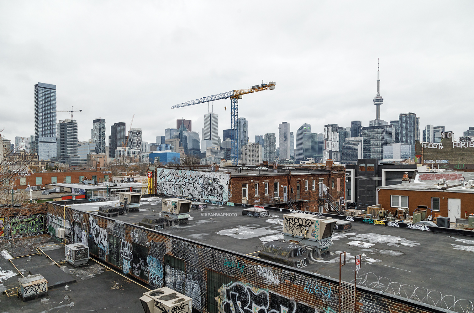
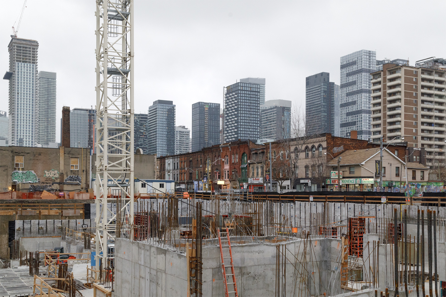
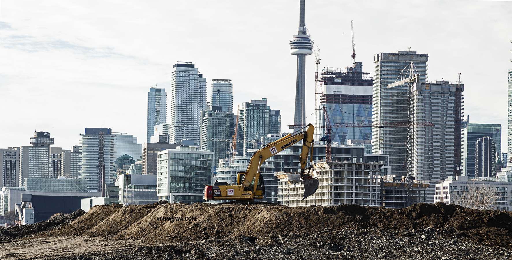
photos 20241207. The crane is emblematic of Toronto. Apparently, Toronto has 43% of all the cranes in North America. Image December 13, 2024 Vik
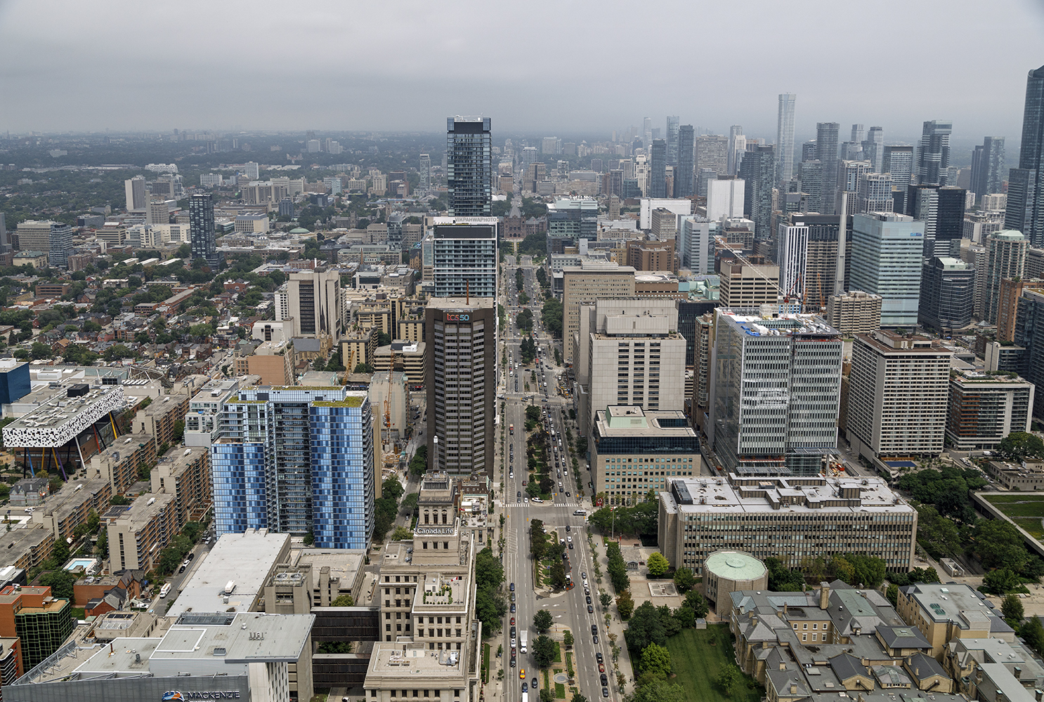
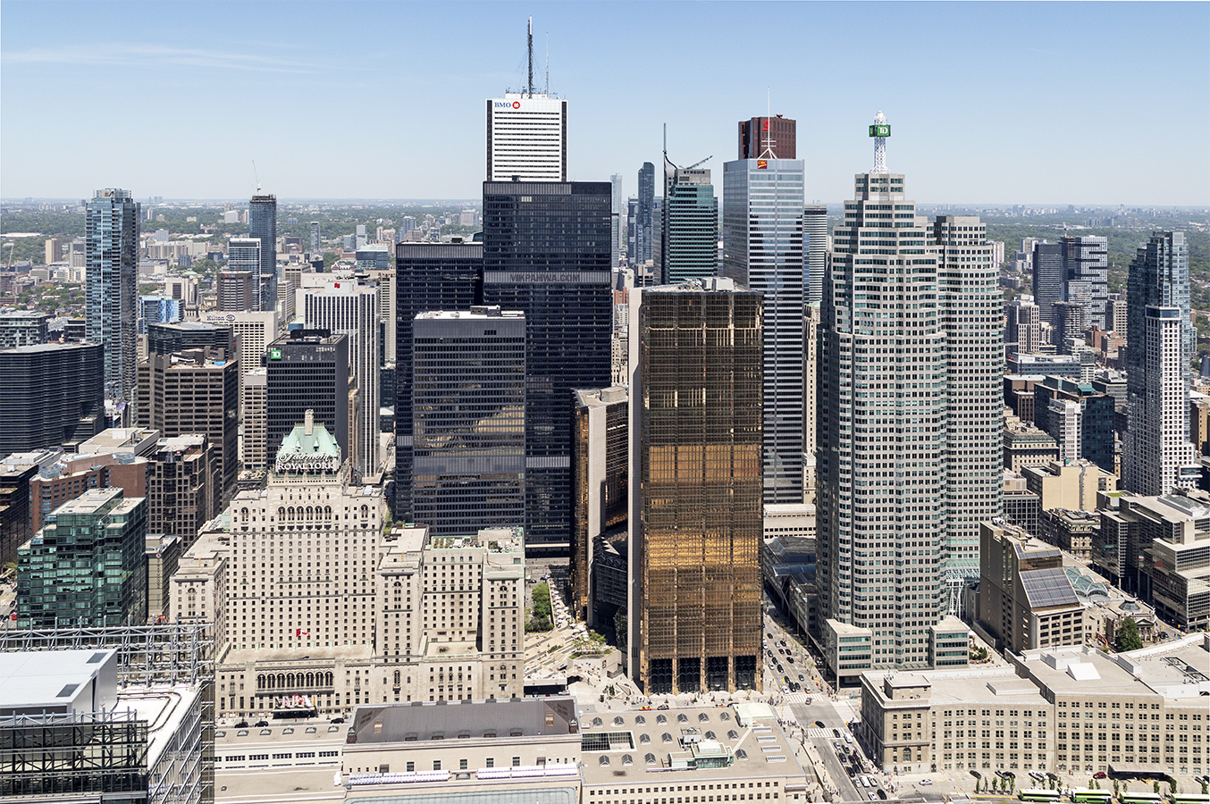
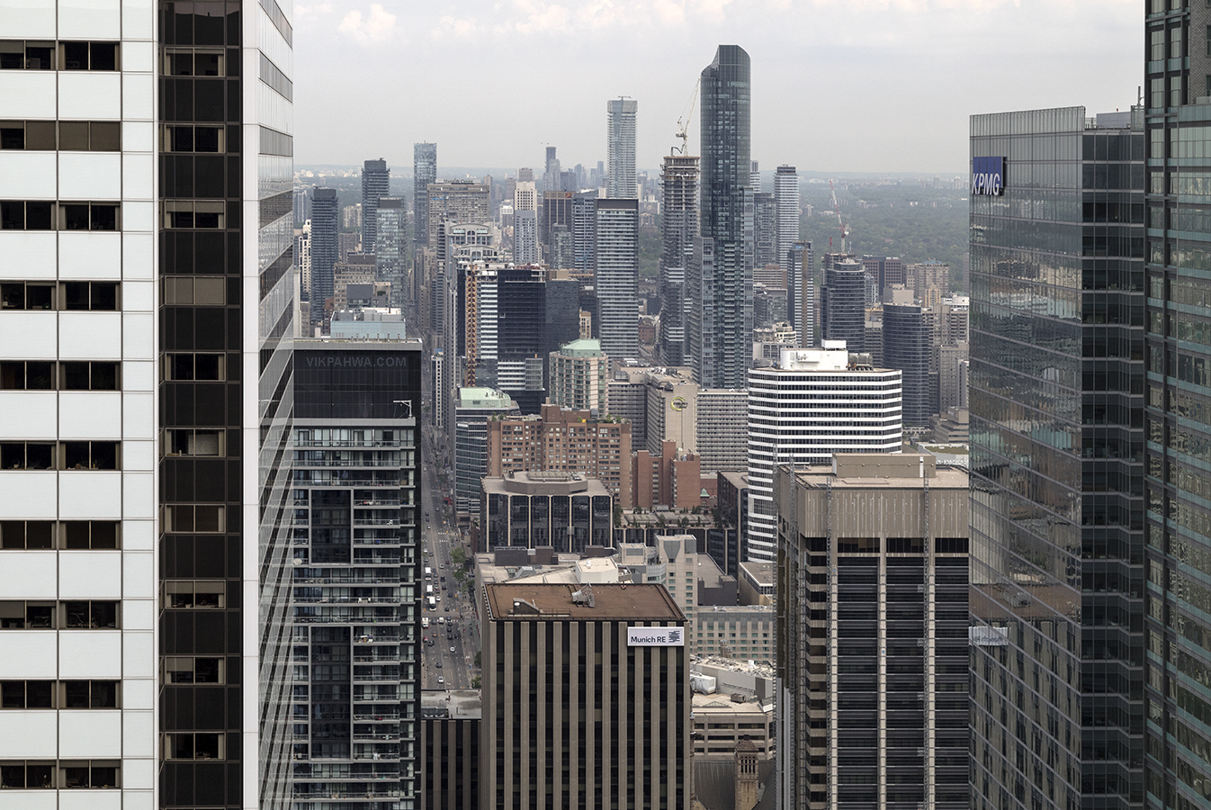
photos 20210913. Looking north over downtown Toronto and University Avenue. Image September 13, 2021 Vik
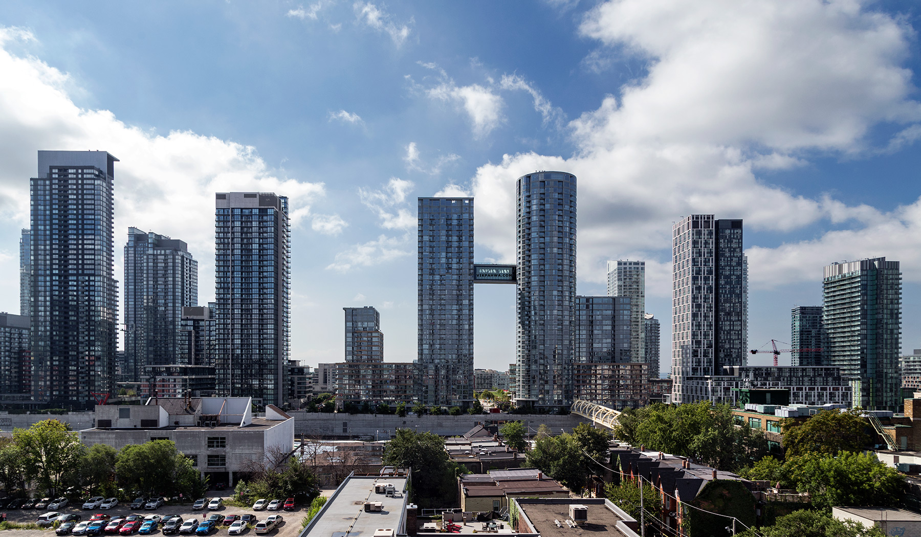
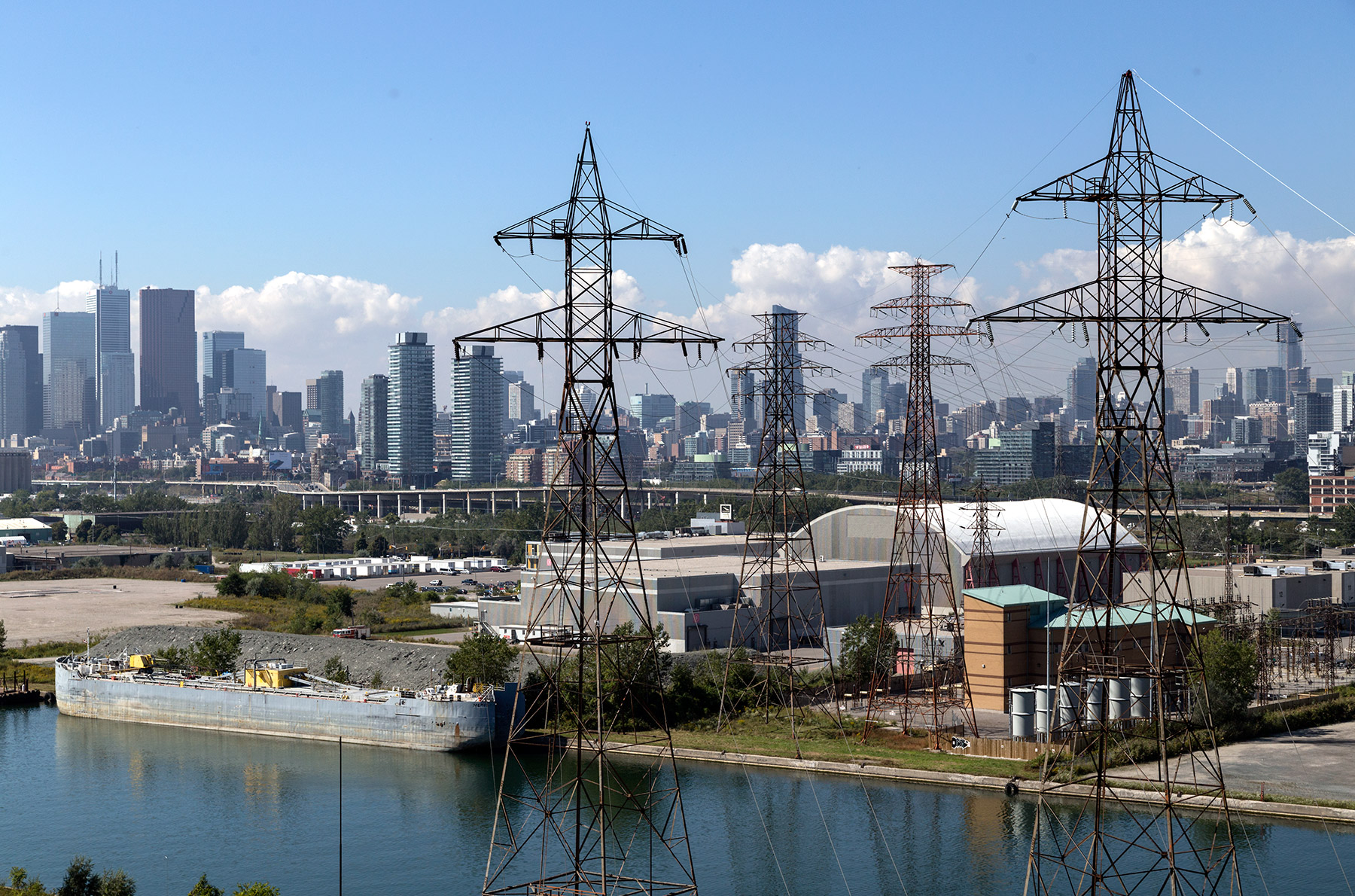
photos 20200204. The work going on in the port lands – the Don River mouth naturalization project – is nothing short of terraforming Toronto. March 13, 2020 Vik
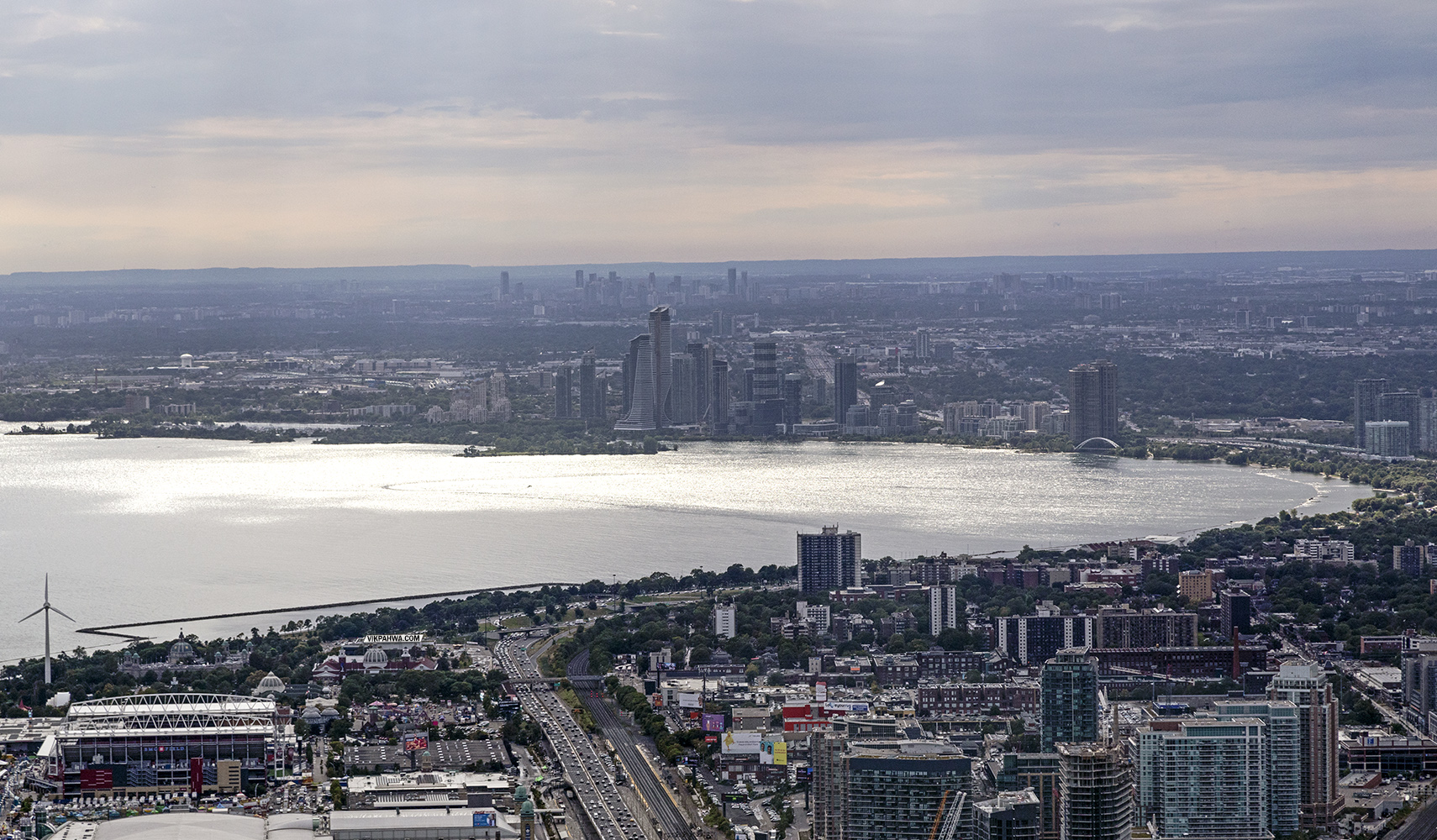
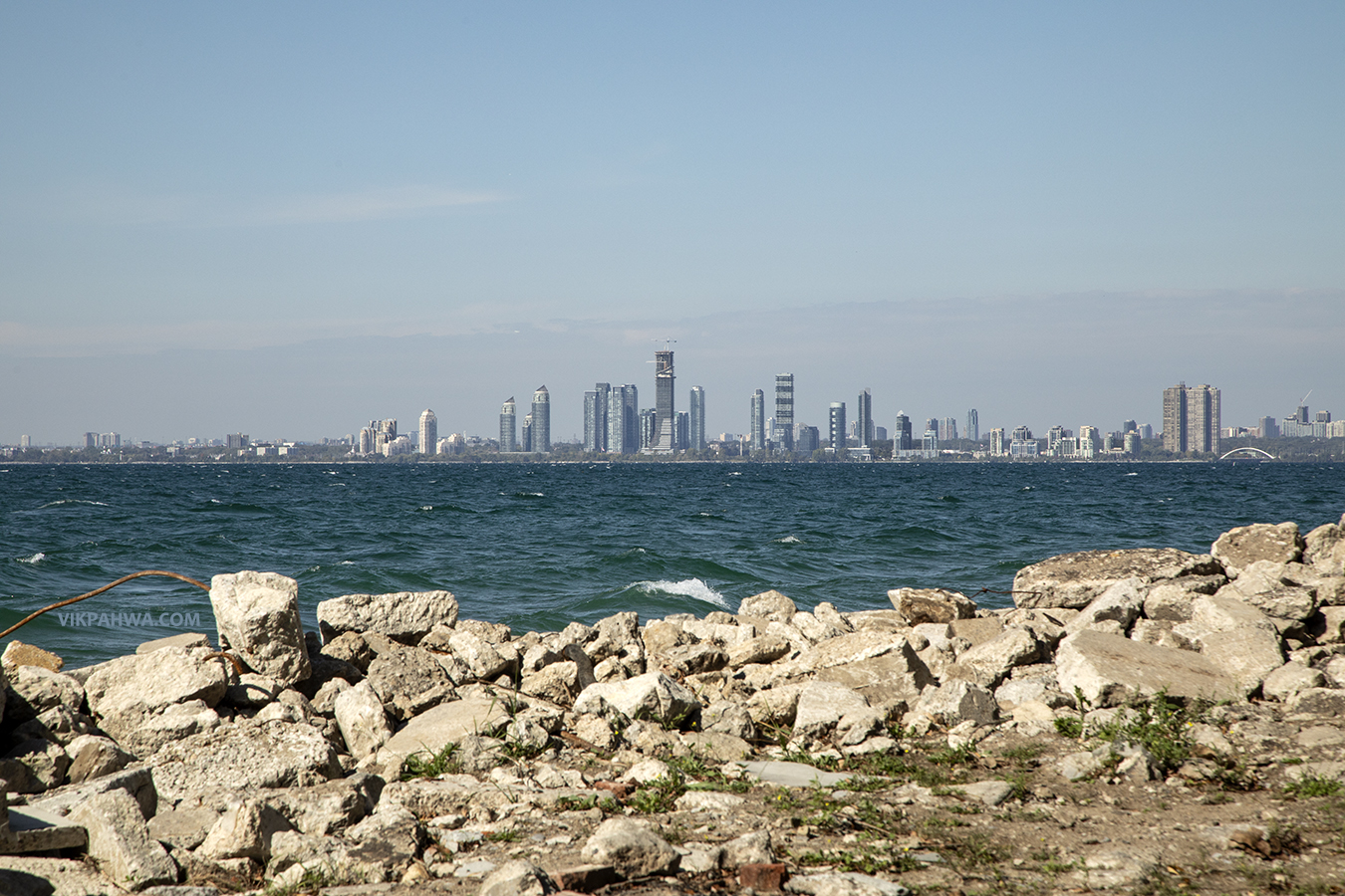
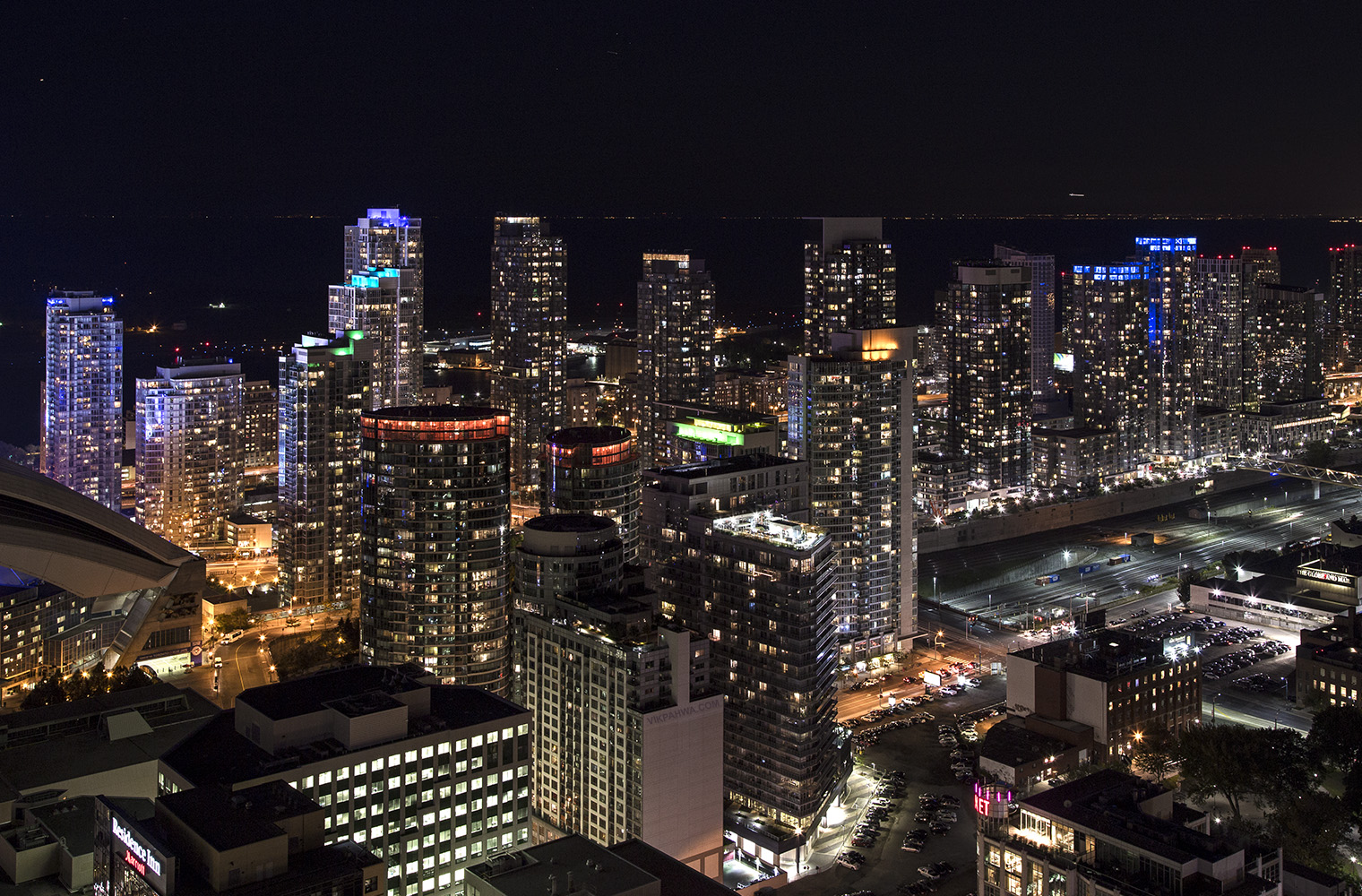
photos 20190816. Looking across Humber Bay towards the towers of the Humber Bay Shores and Mississauga. September 26, 2019 Vik
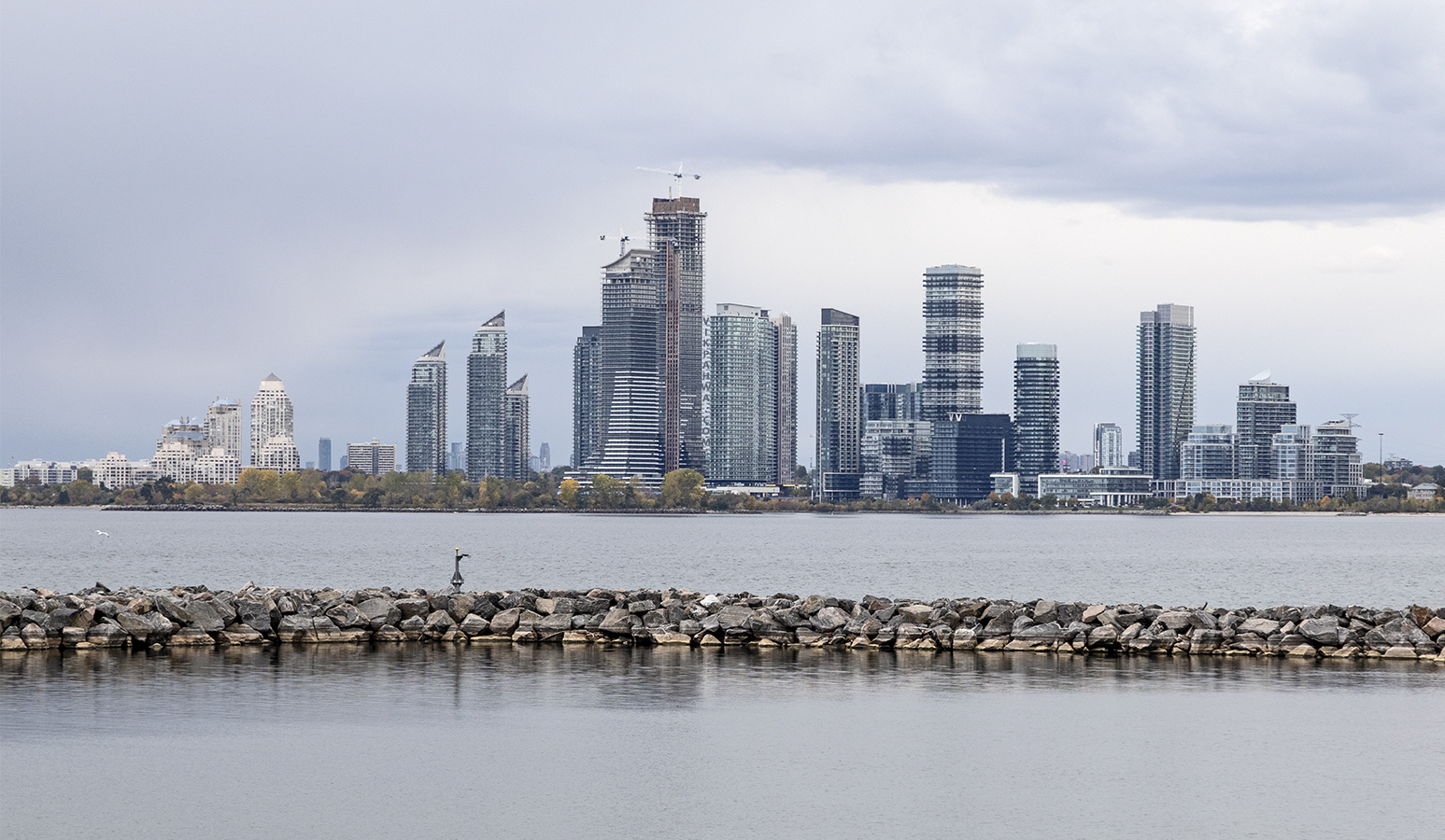
photos 20181020. The Humber Bay Shores skyline beyond the breakwater at Marilyn Bell Park. October 21, 2018 Vik
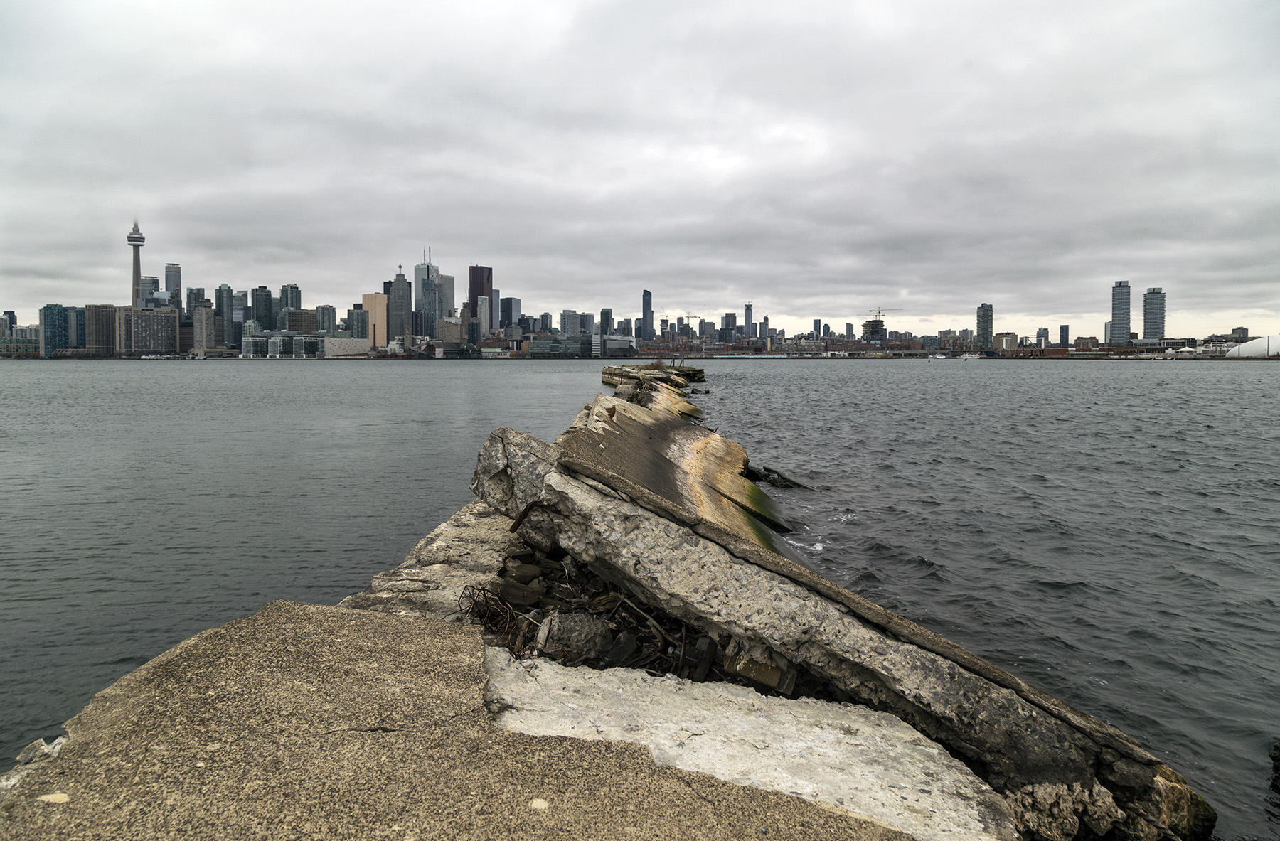
photos 20180928. Concrete shores, choppy waters and the Humber Bay Shores skyline. September 29, 2018 Vik
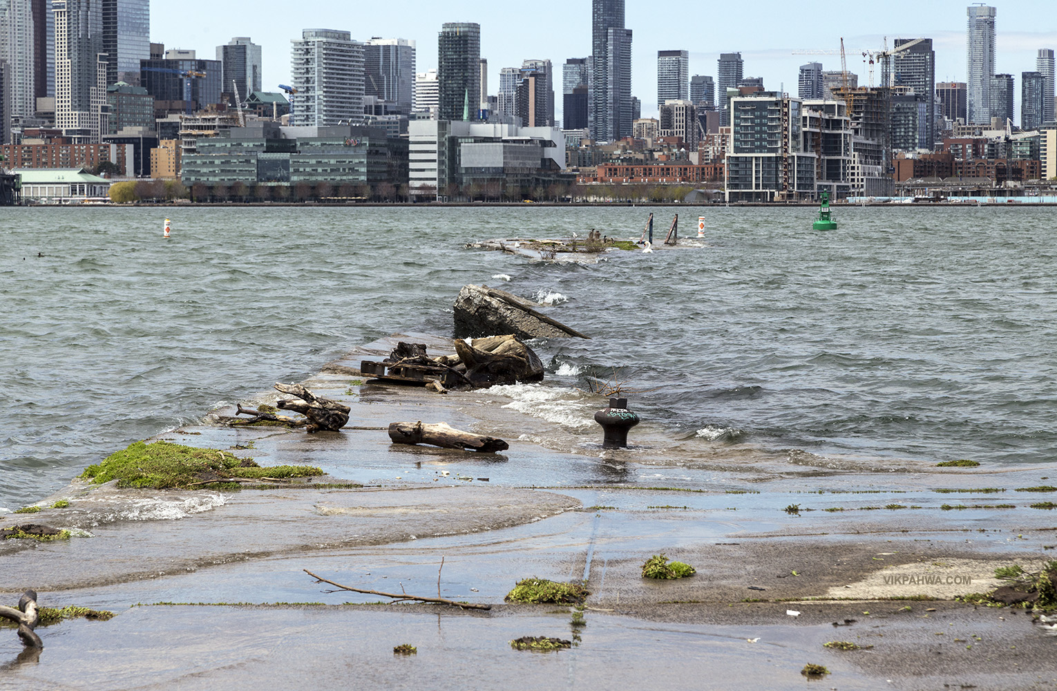
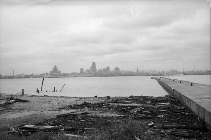
photos 20170507. Then and now pictures of a derelict concrete pier on Ward’s Island illustrate how much Lake Ontario’s water level has increased over the past few days. May 8, 2017 Vik
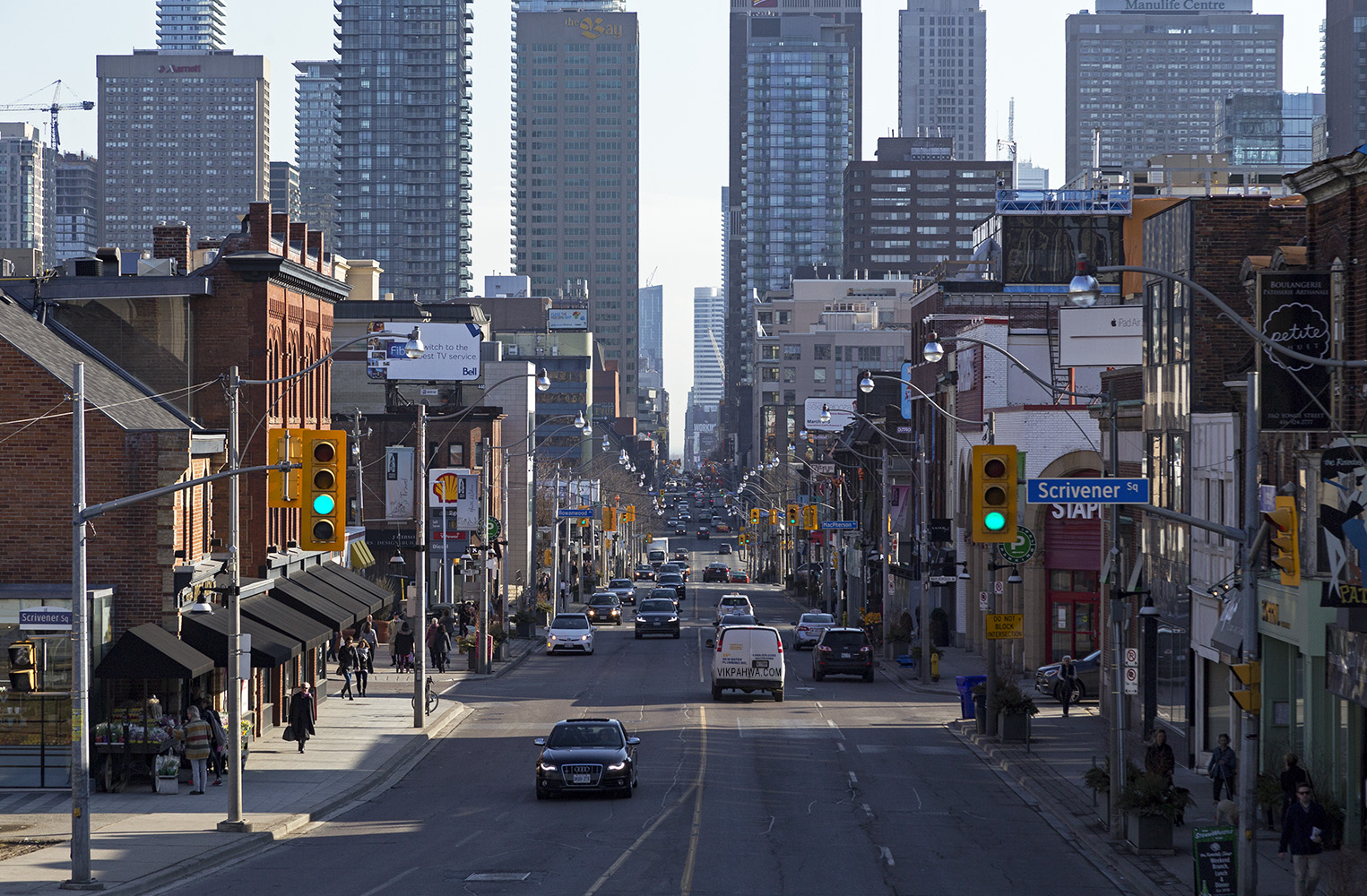
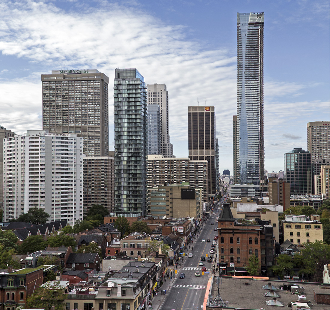
photos 20170225. Looking down Yonge Street from Summerhill, the downtown core seems to be sprouting buildings. February 26, 2017 Vik
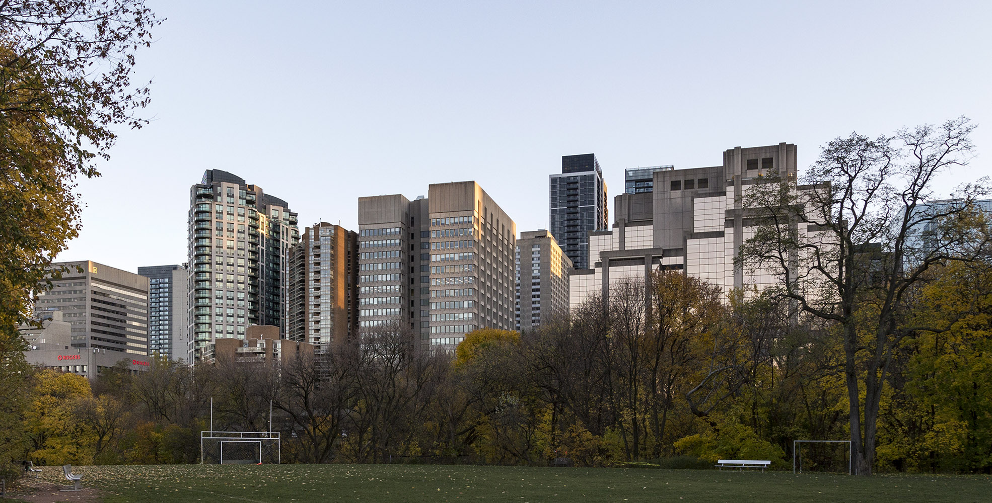
photos 20161210. Toronto’s Bloor St E skyline rises above the Rosedale Valley tree line and the Branksome Hall sports field. December 11, 2016 Vik
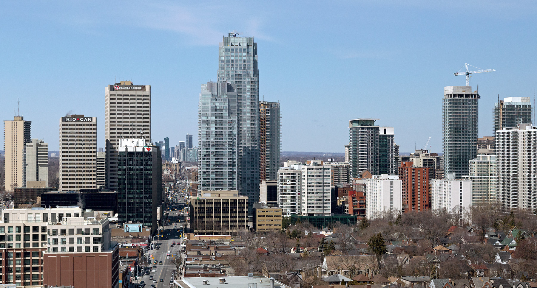
photos 20160503. Toronto’s Yonge and Eglinton skyline continues to rise (looking north along Yonge Street). May 4, 2016 Vik
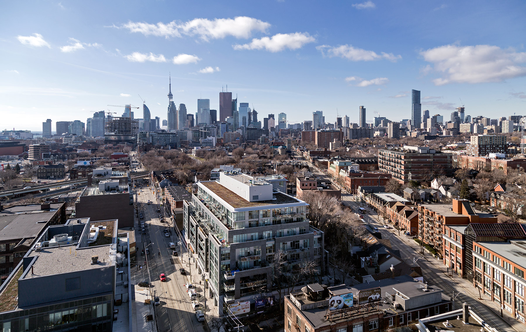
photos 20160119. Toronto’s skyline from where King and Queen meet in Corktown with the Streetcar Lofts in the foreground. January 19, 2016 Vik
photos 20151228. Derelict Ward’s Island Eastern Gap pier points to Toronto’s skyline. December 28, 2015 Vik The first image is how the pier looks today. The second image is how it looked in 1954. What a difference! Black and white photo courtesy of Toronto Public Library Digital Archives.
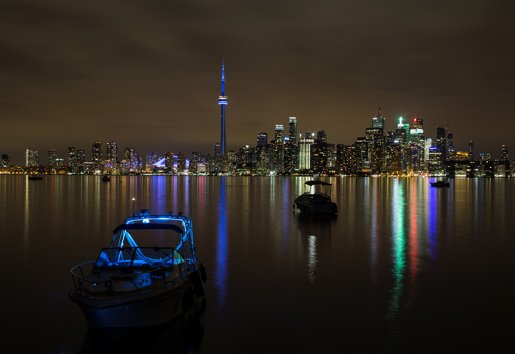
photos 20150928. Toronto’s skyline was enhanced by the overcast sky that eclipsed the rare full super lunar eclipse. September 28, 2015 Vik