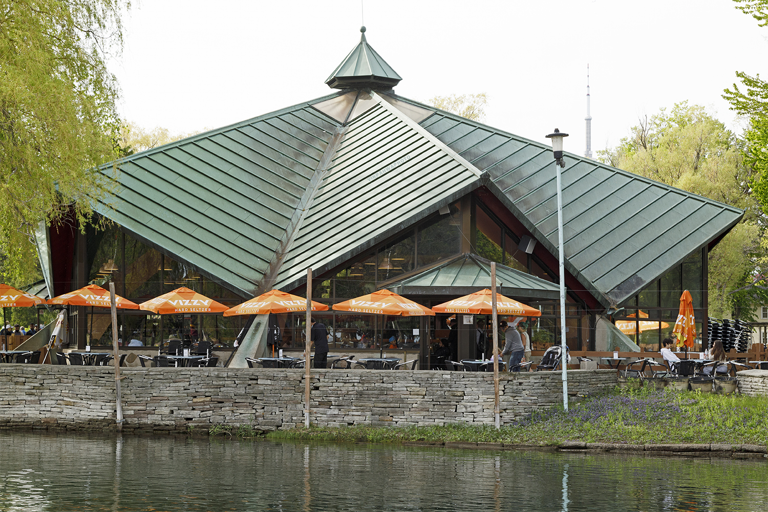
20220704. Iroquios Restaurant (now Carousel Cafe) was built when Centre Island Park was created. Master planning started in 1956.


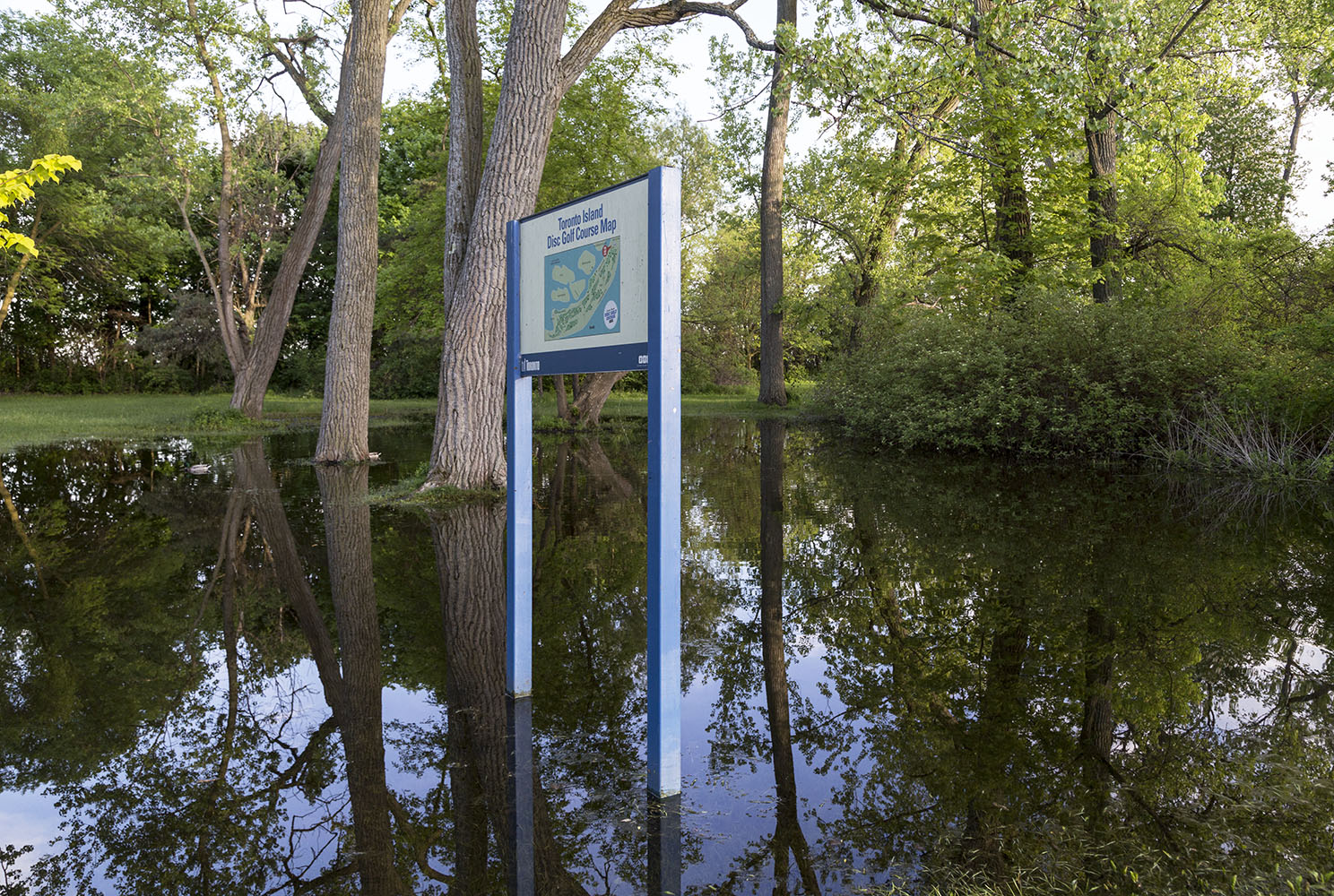
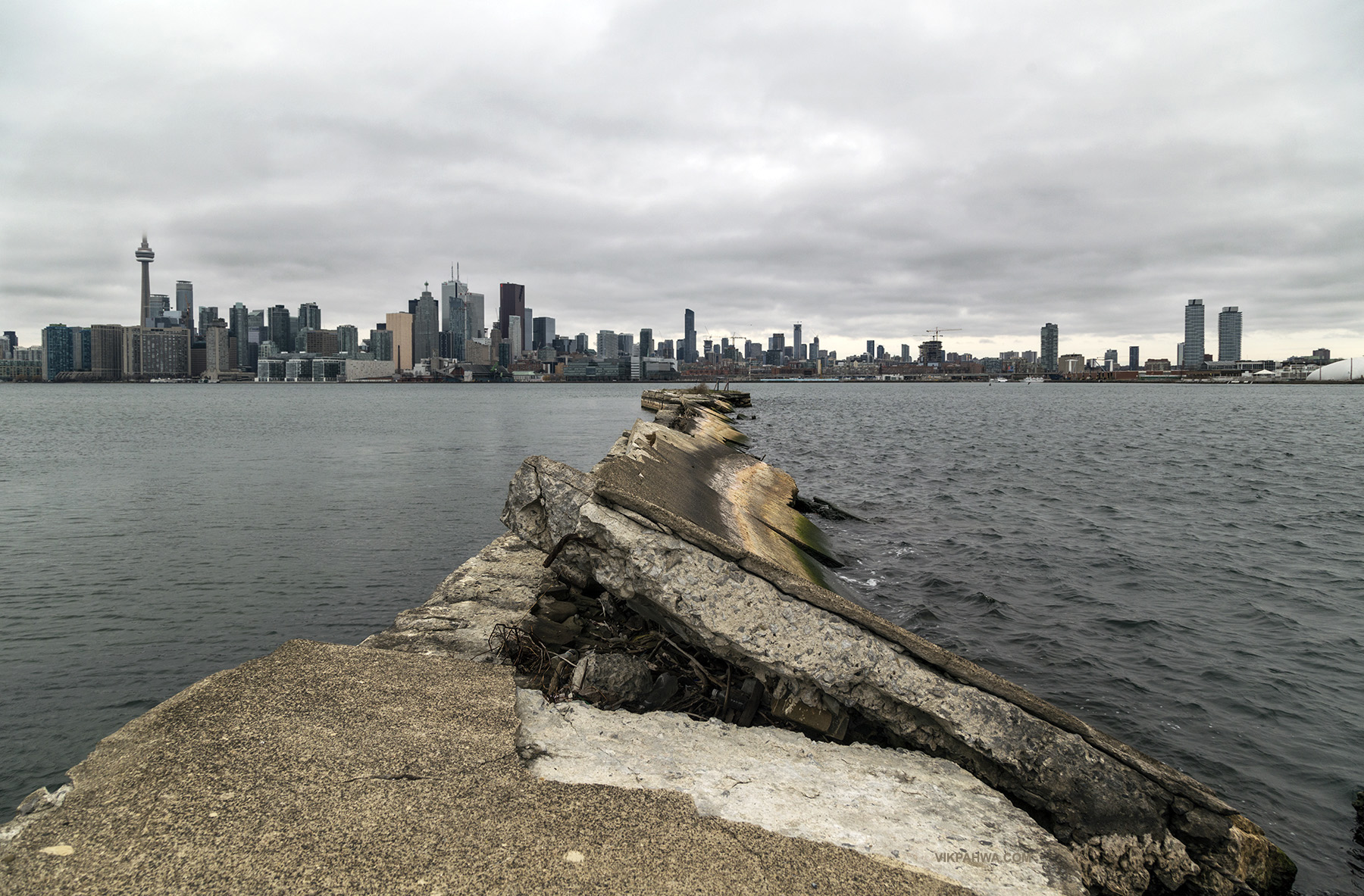
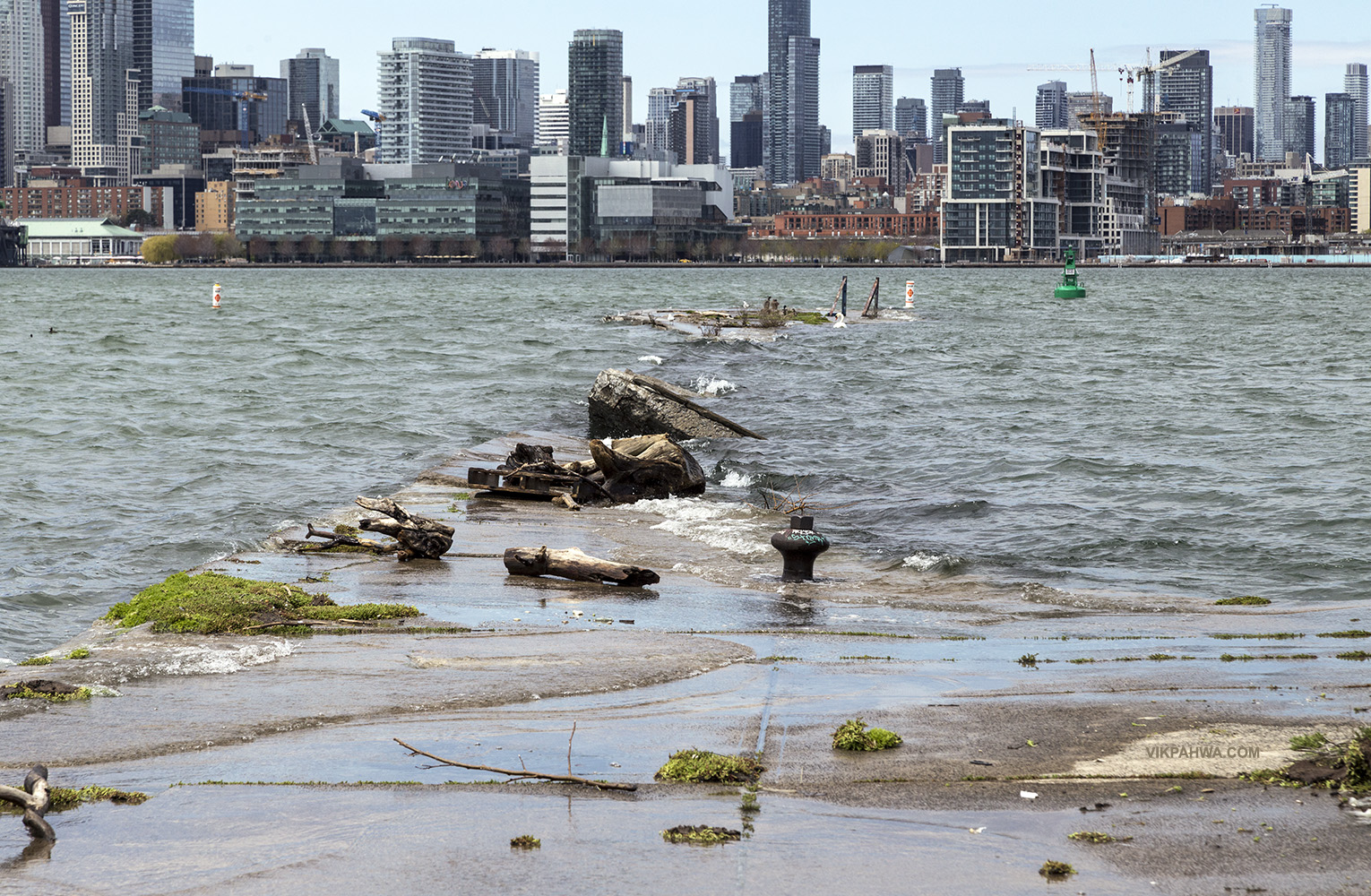
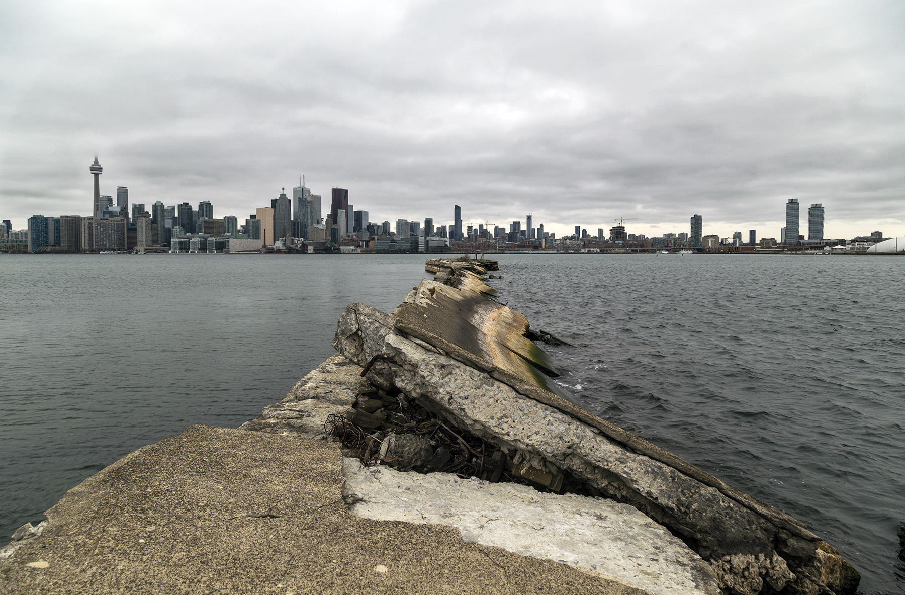
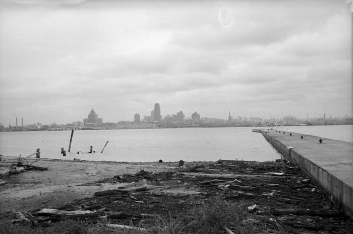
The first image is how the pier looks today. The second image is how it looked in 1954. What a difference! Black and white photo courtesy of Toronto Public Library Digital Archives.
