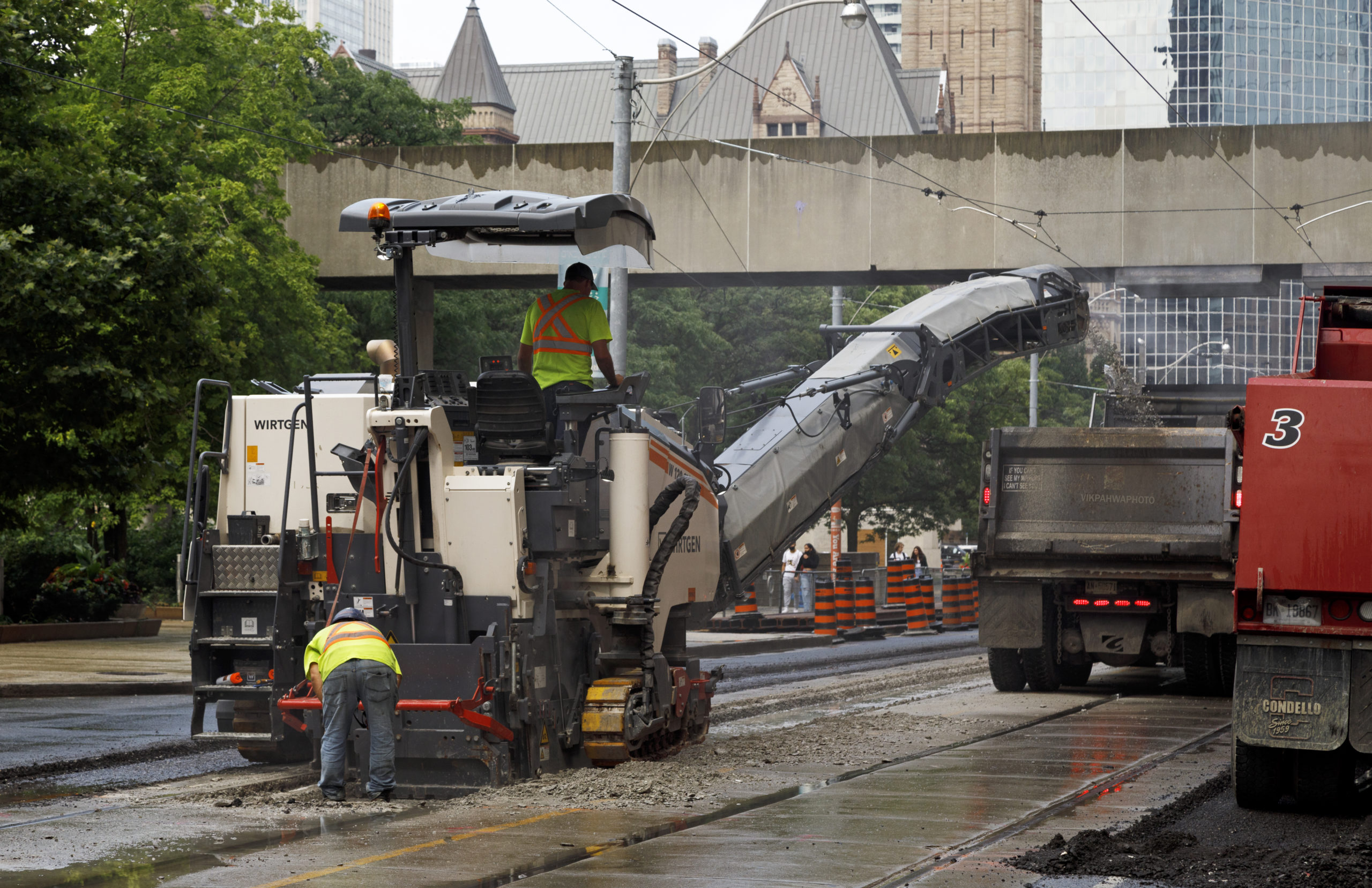
20211002. Why not use a cold milling machine to tear up that concrete? Queen Street gets some much needed track replacement near City Hall.


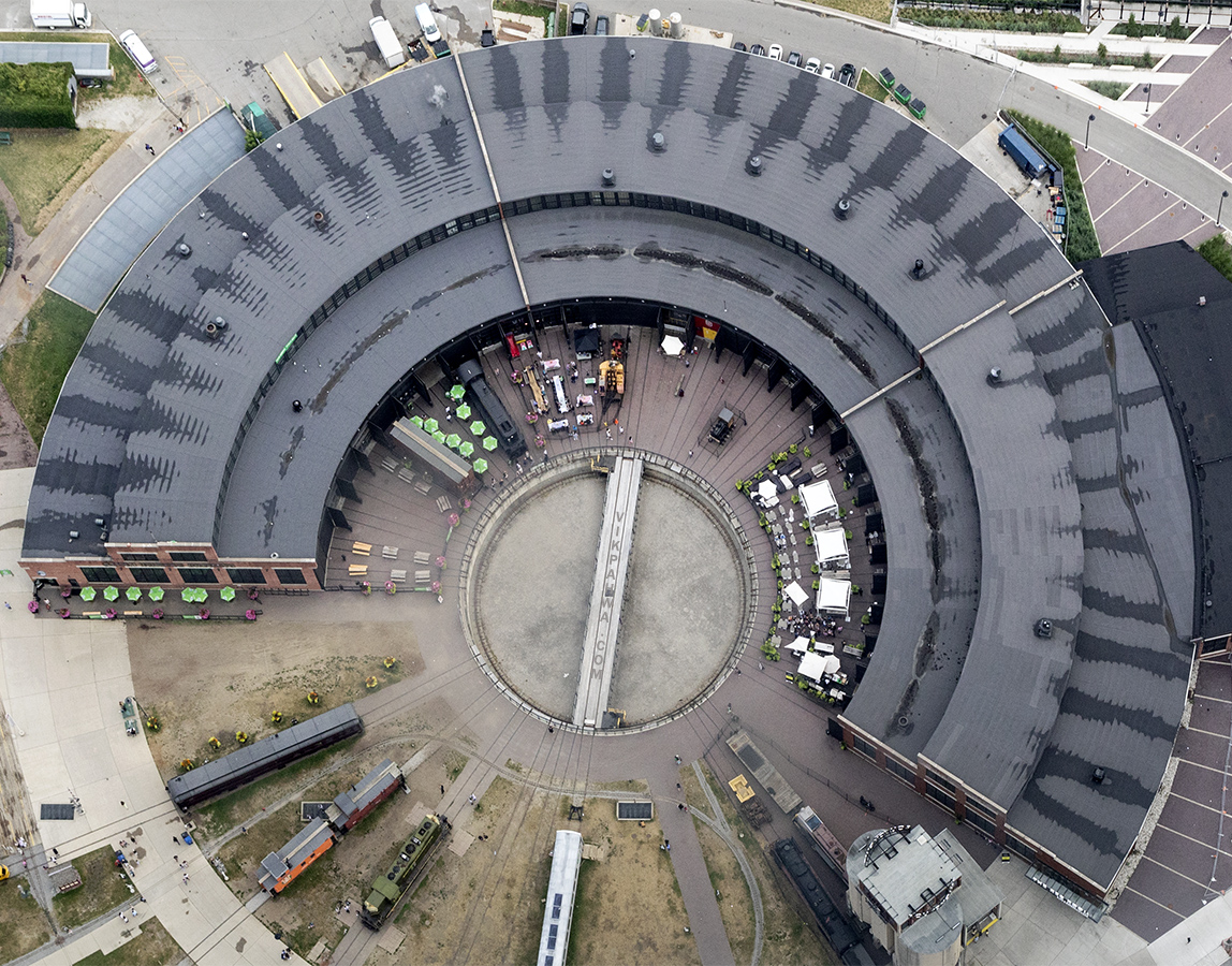
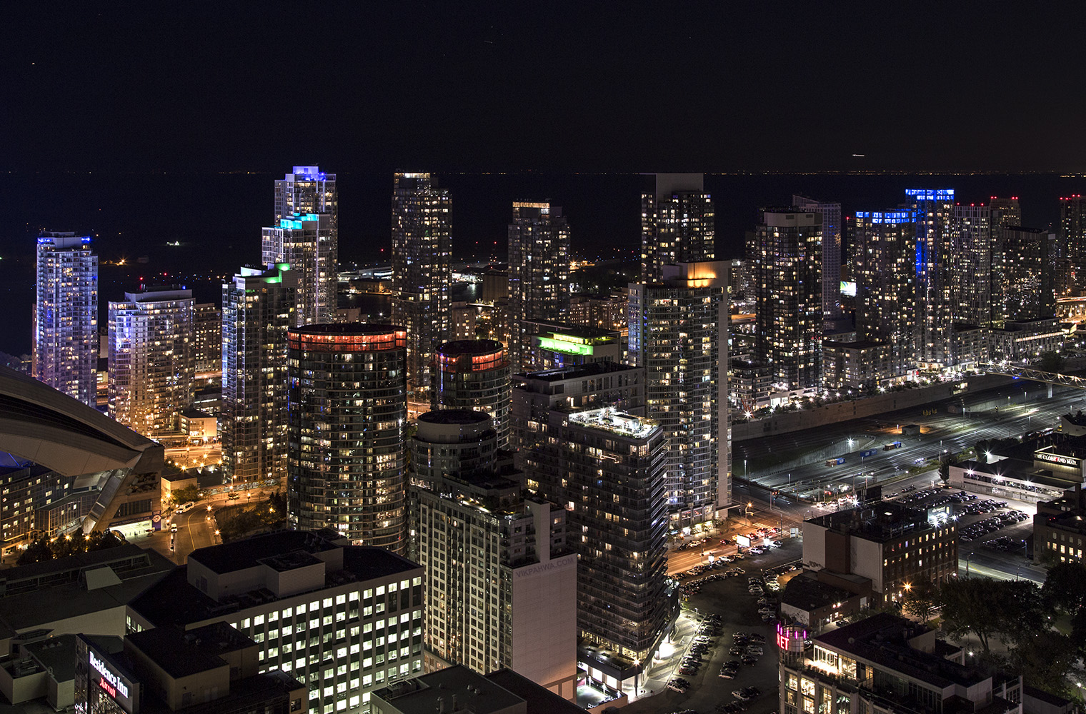
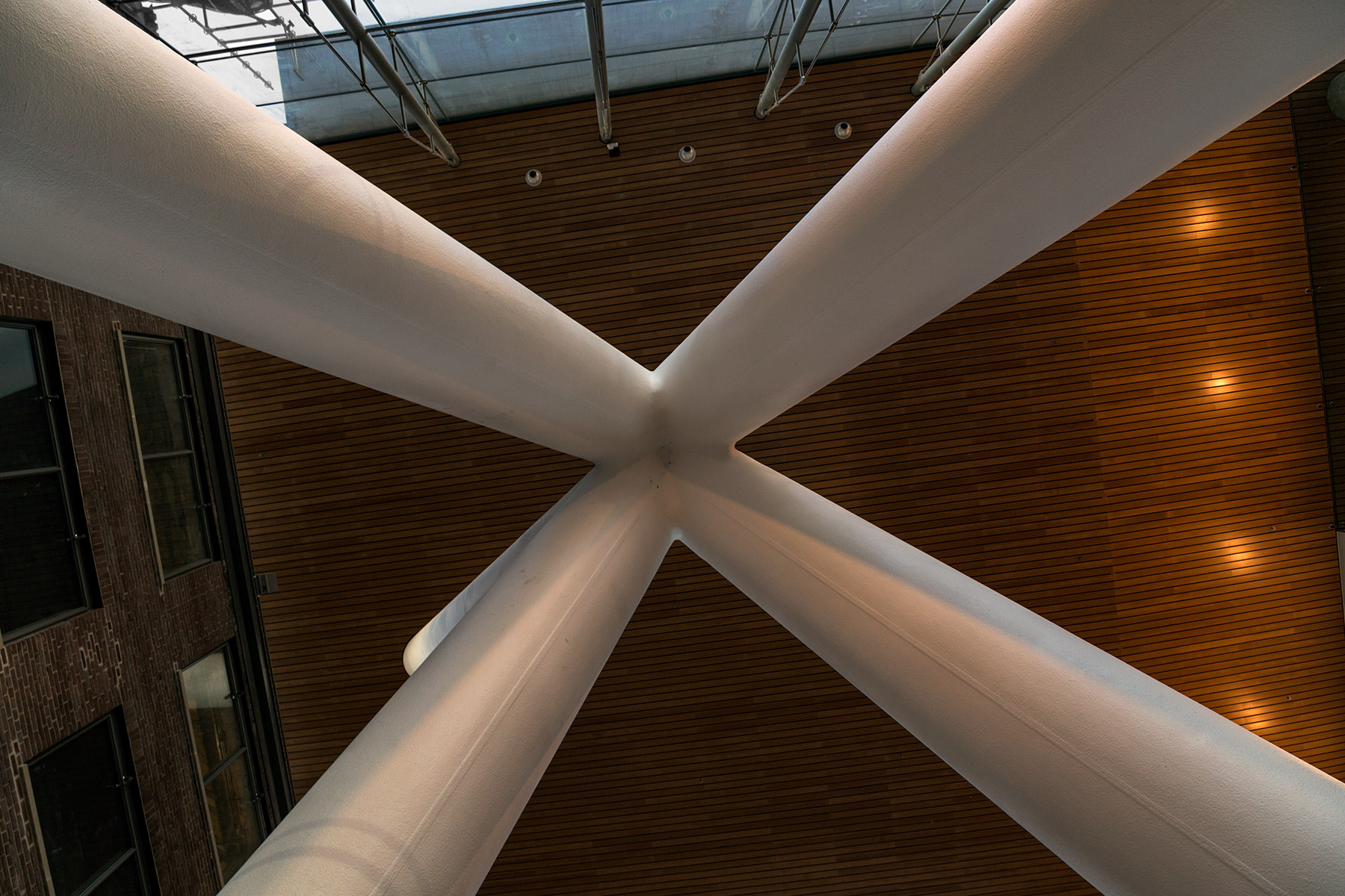
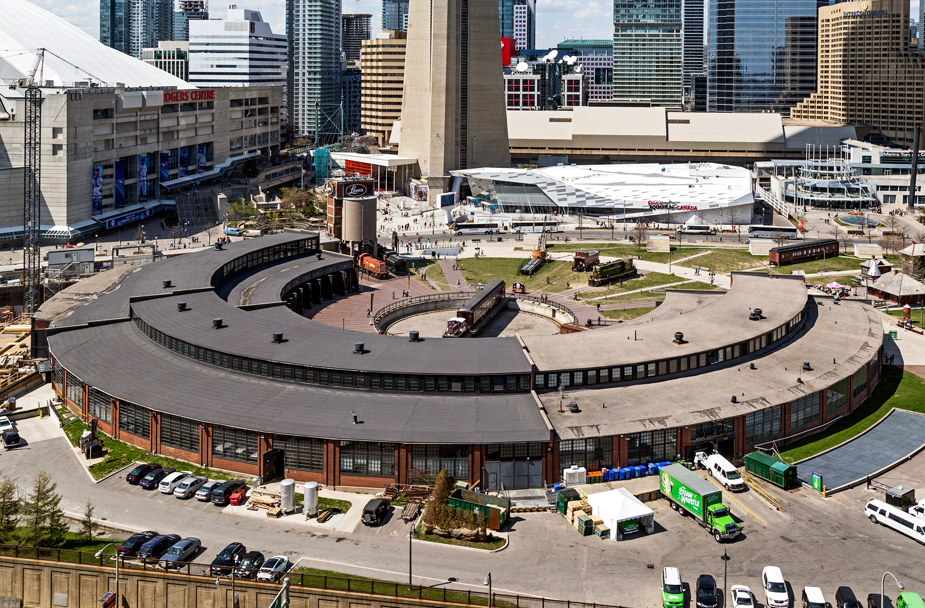 Visit during Doors Open! http://goo.gl/vdsIu8
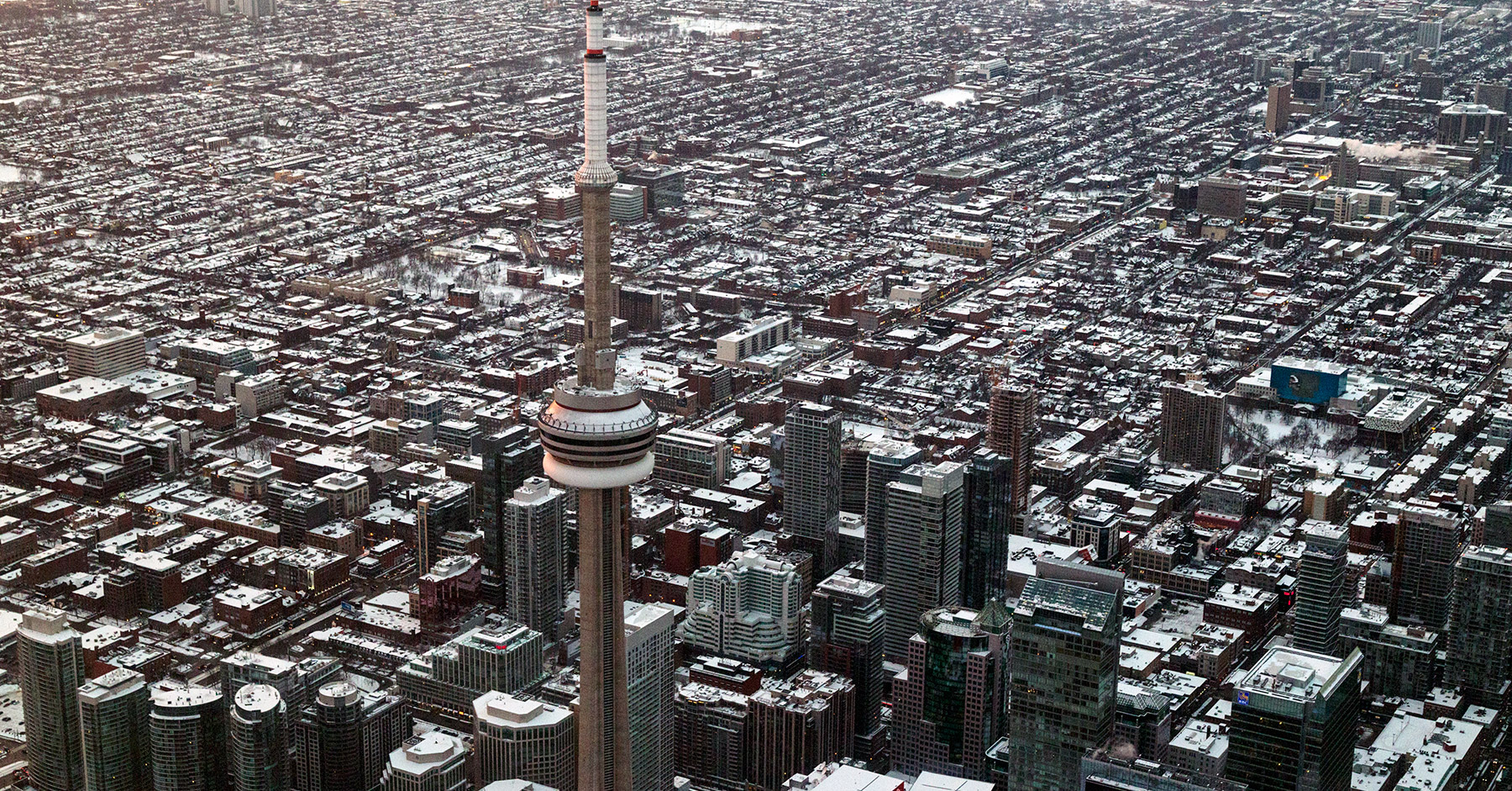 Spadina Street stretches out to the north and if you look carefully you can see its intersections with King and Queen. Most of the King-Spadina Heritage Conservation District is also visible of which a study is being conducted. Queen West, Kensington Market, Chinatown and the Entertainment District are all visible.
To the right are the unmistakeable forms of the blue Art Gallery of Ontario and the checkered pattern of the Ontario College of Art’s Sharp Centre for Design. North of that in the top right corner is the massive brutalist Robarts Library and the University of Toronto Campus. In the foreground the Ritz Carlton dominates the skyline apart from the very tall CN Tower.