photos 20241109. Working on the plug between the existing Don River and the new Don River mouth. Image November 10, 2024 Vik
photos 20220308. The Don Mouth Naturalization and Port Lands Flood Protection Project is progressing (https://bit.ly/3CrbrZs). Image March 8, 2022 Vik
photos 20210919. Redevelopment of the Toronto Port Lands into the Lower Don Lands has come a long way. Here we see the bed of the extended Don River. Image September 20, 2021 Vik
photos 20210708. Bridges of July #8. ‘Night Truss’ and ‘Centre Span X’ on the Queen Street Viaduct. Image July 8, 2021 Vik
photos 20210130. Peering through steel bridge piers across the West Don River. Image January 29, 2021 Vik park bridge
photos 20200814. The Prince Edward Viaduct or (Bloor Viaduct) spans the Don River valley and the Lower Don River Trail (Edmund Burke, 1918). August 18, 2020 Vik
photos 20191022. The centre X spans on the Queen Street Viaduct (reminiscent of yesterday’s federal election). Image October 23, 2019 Vik
photos 20161112. “Night Truss” and “Centre Span Xs” on the Queen Street Viaduct. Image November 13, 2016 Vik
photos 20150908. Looking down the spillway of Toronto’s G. Ross Lord Flood Control Dam. September 8, 2015 Vik
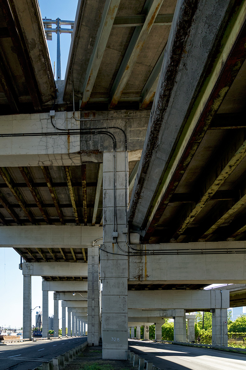
photos 20150605. Imagine a naturalized Don River beneath the Gardiner Expressway to Don Valley Parkway ramps. June 5, 2015 Vik Image 4/10 exploring the Future of the Gardiner East leading up to the Toronto City Council vote.
photos 20150602. A grimy Gardiner Expressway splits to join the DVP in Toronto. Should we retain this connection? June 2, 2015 Vik
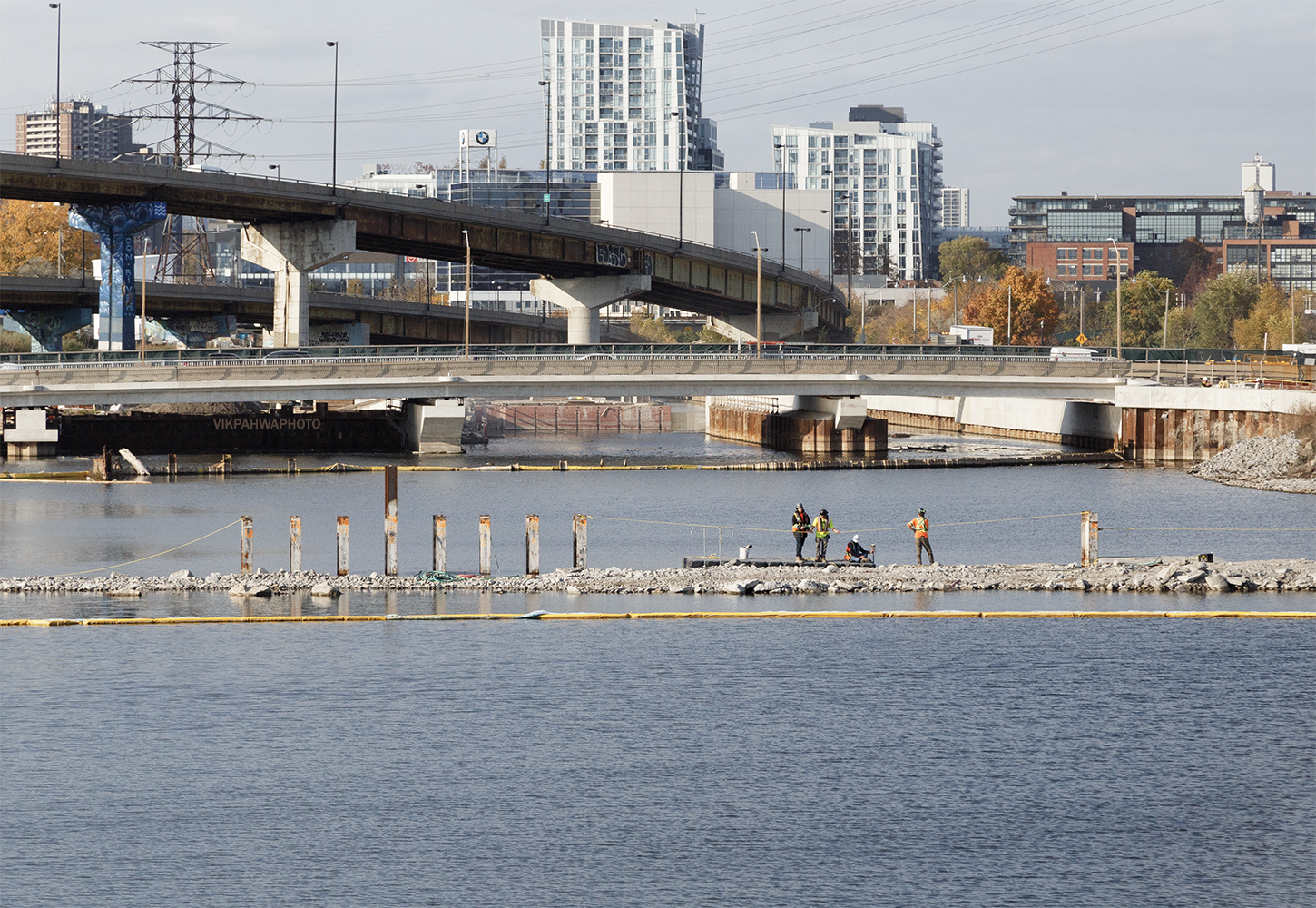
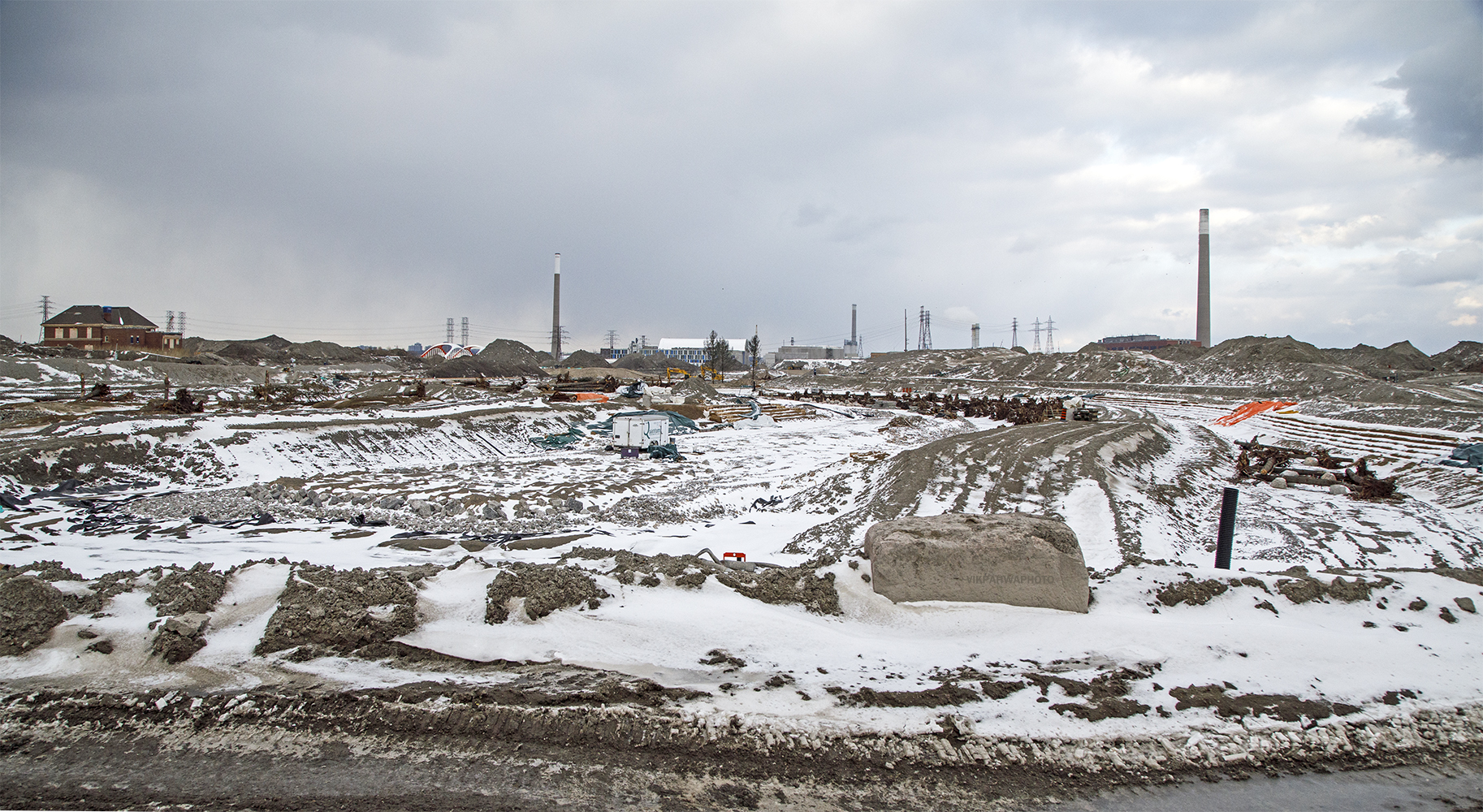
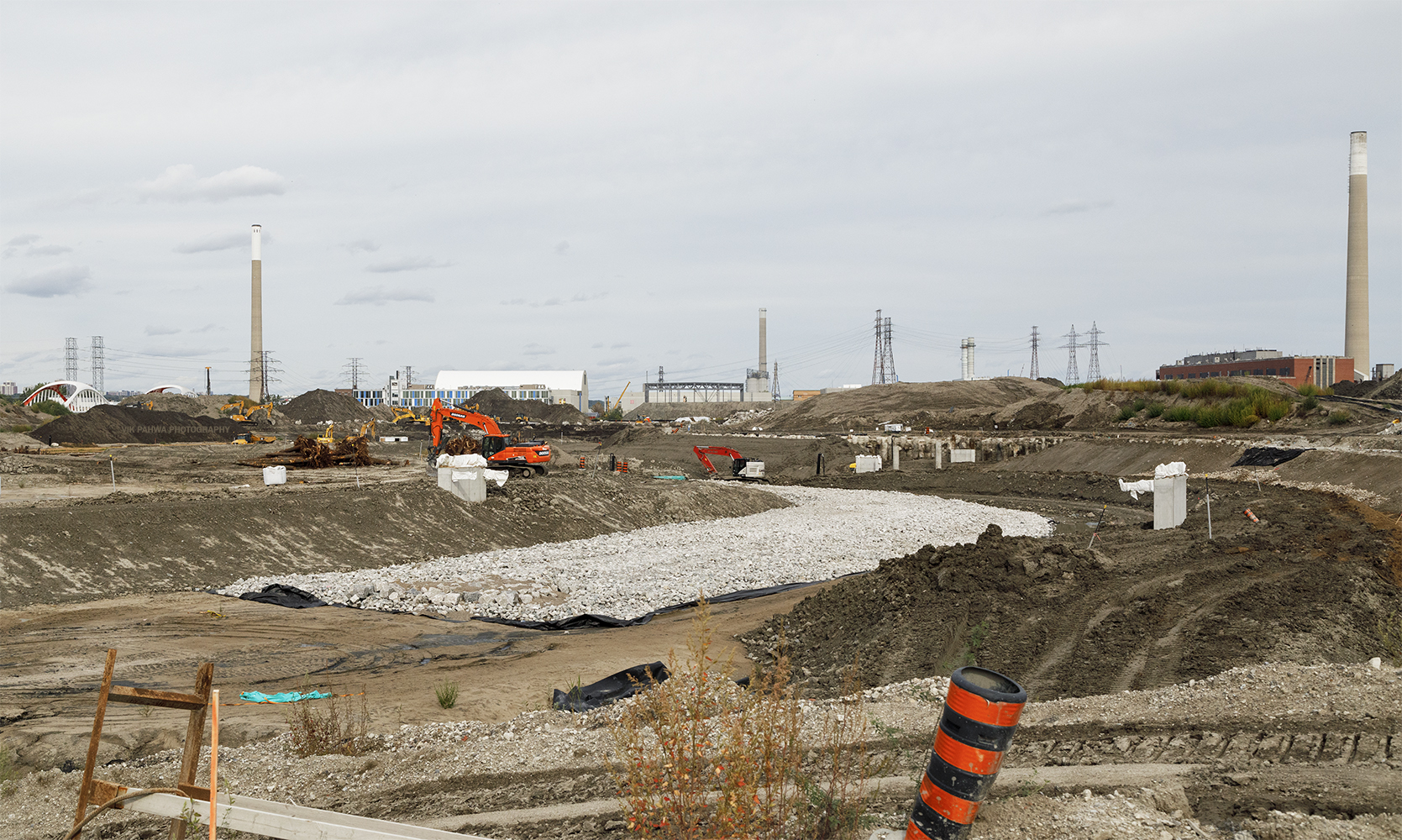
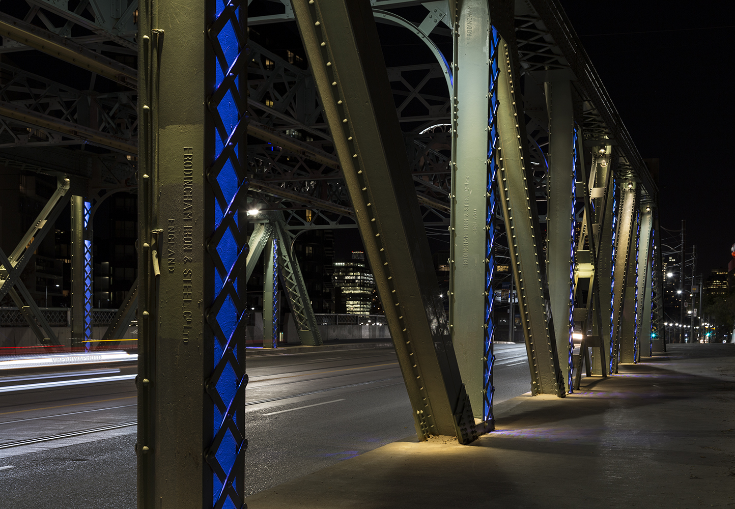

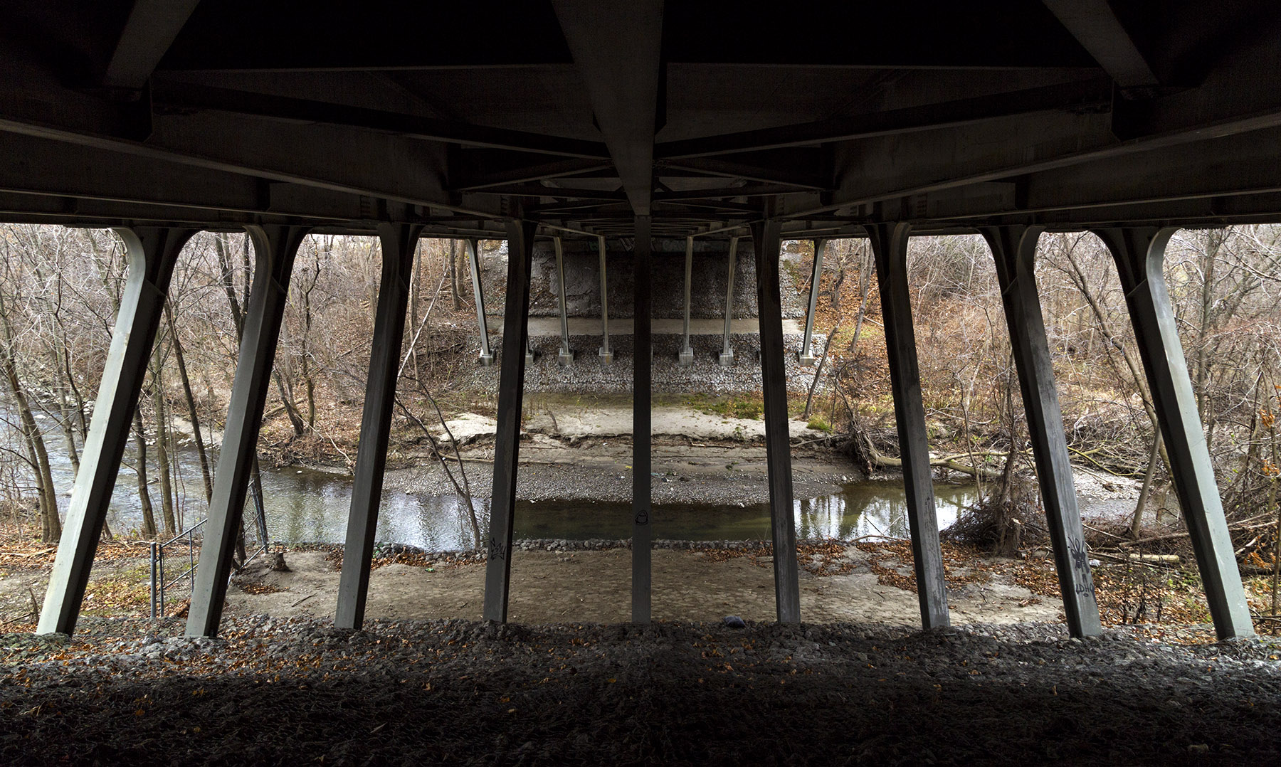
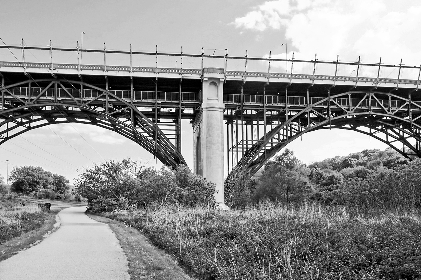
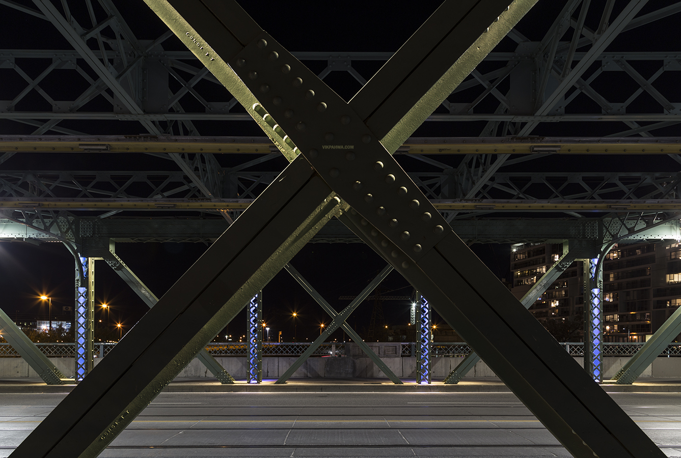
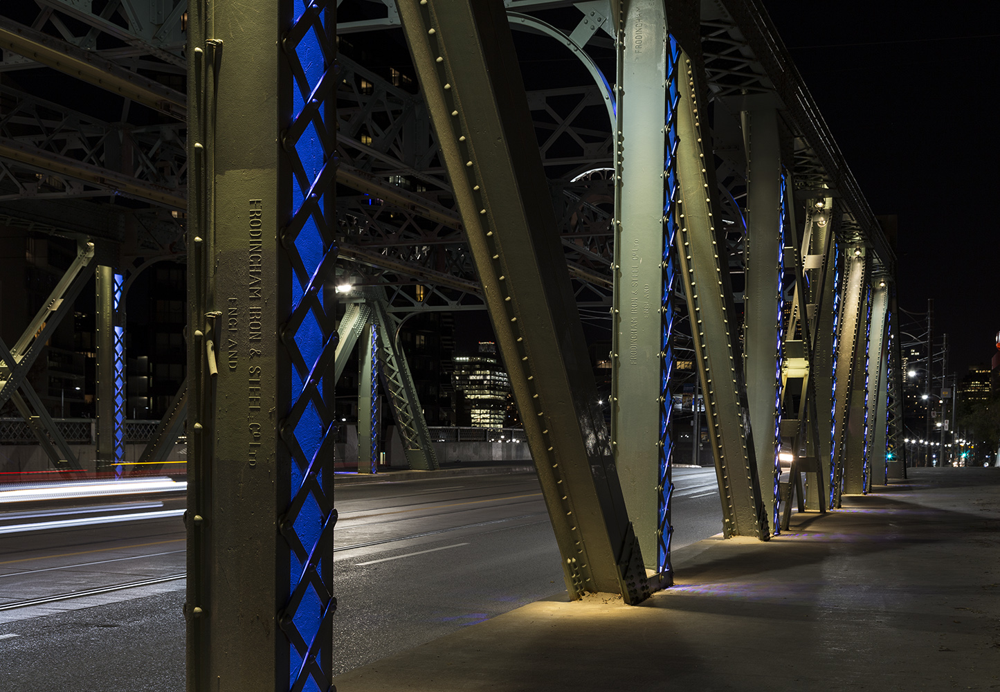
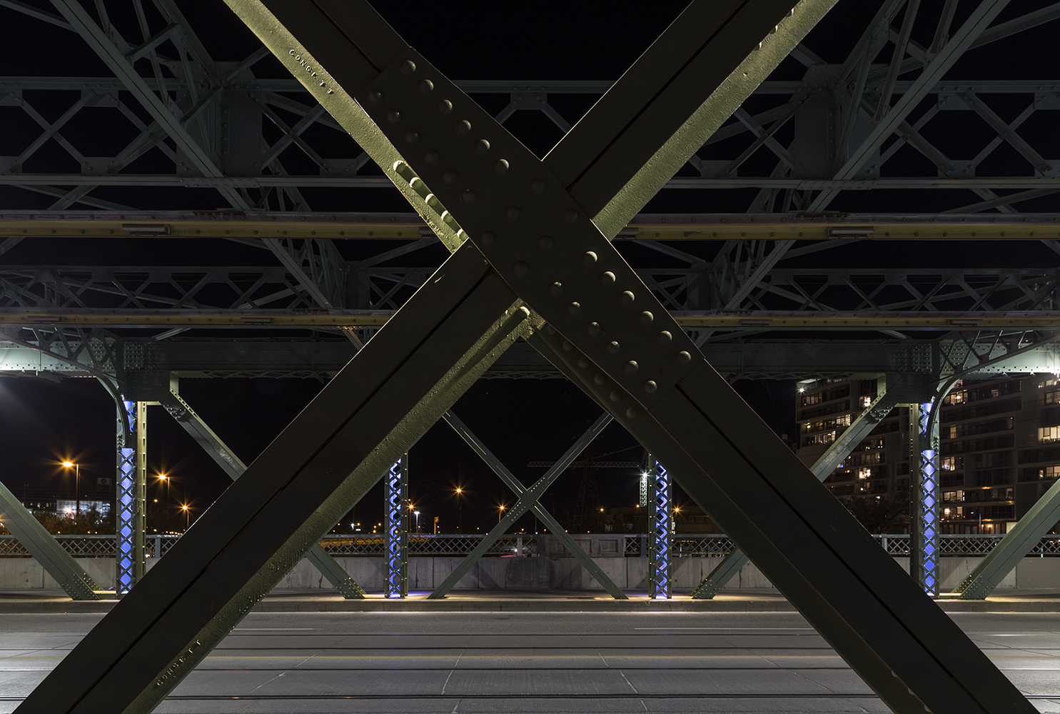

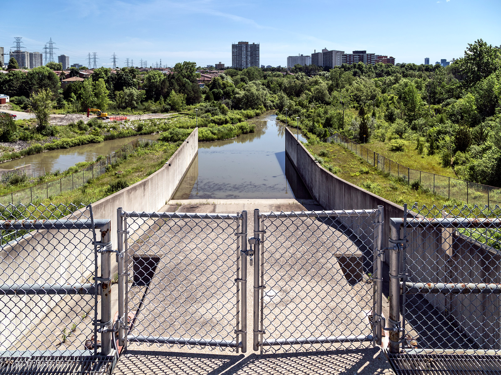
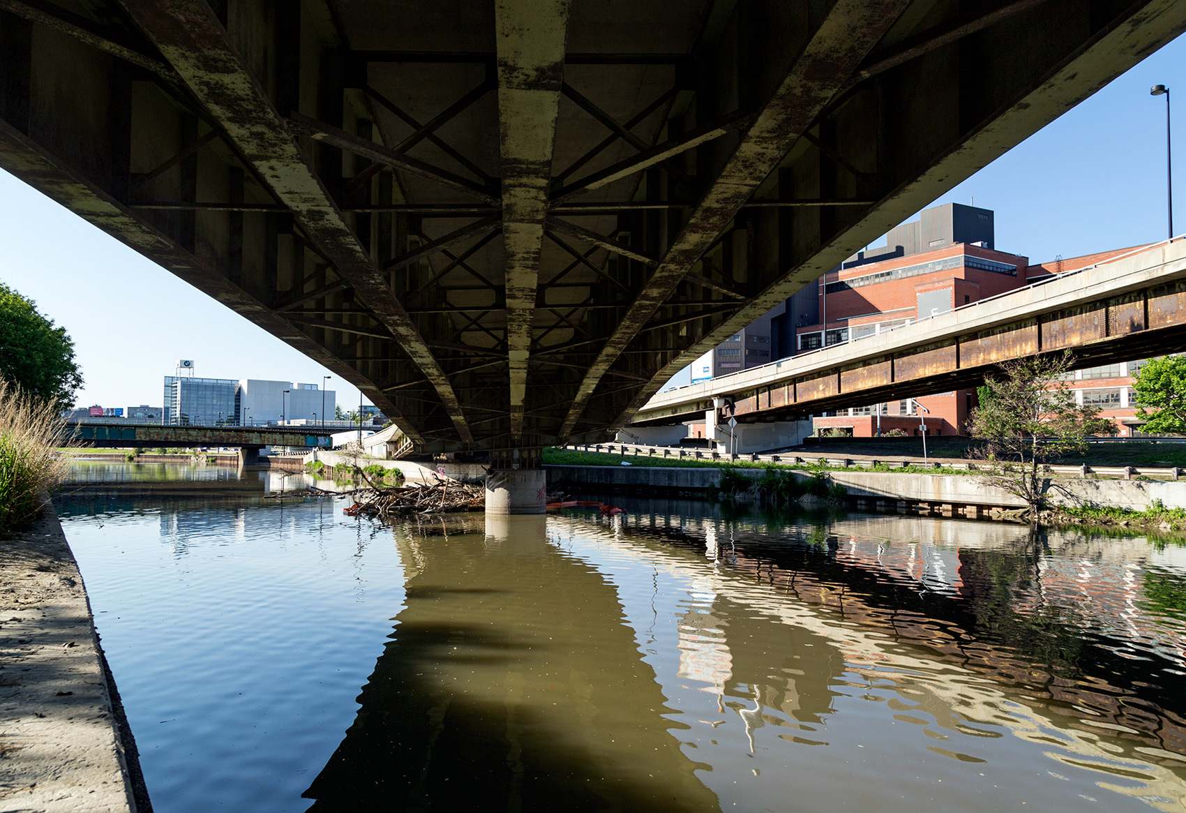 Image 4/10 exploring the Future of the Gardiner East leading up to the Toronto City Council vote.