Tag Archives: cherry street
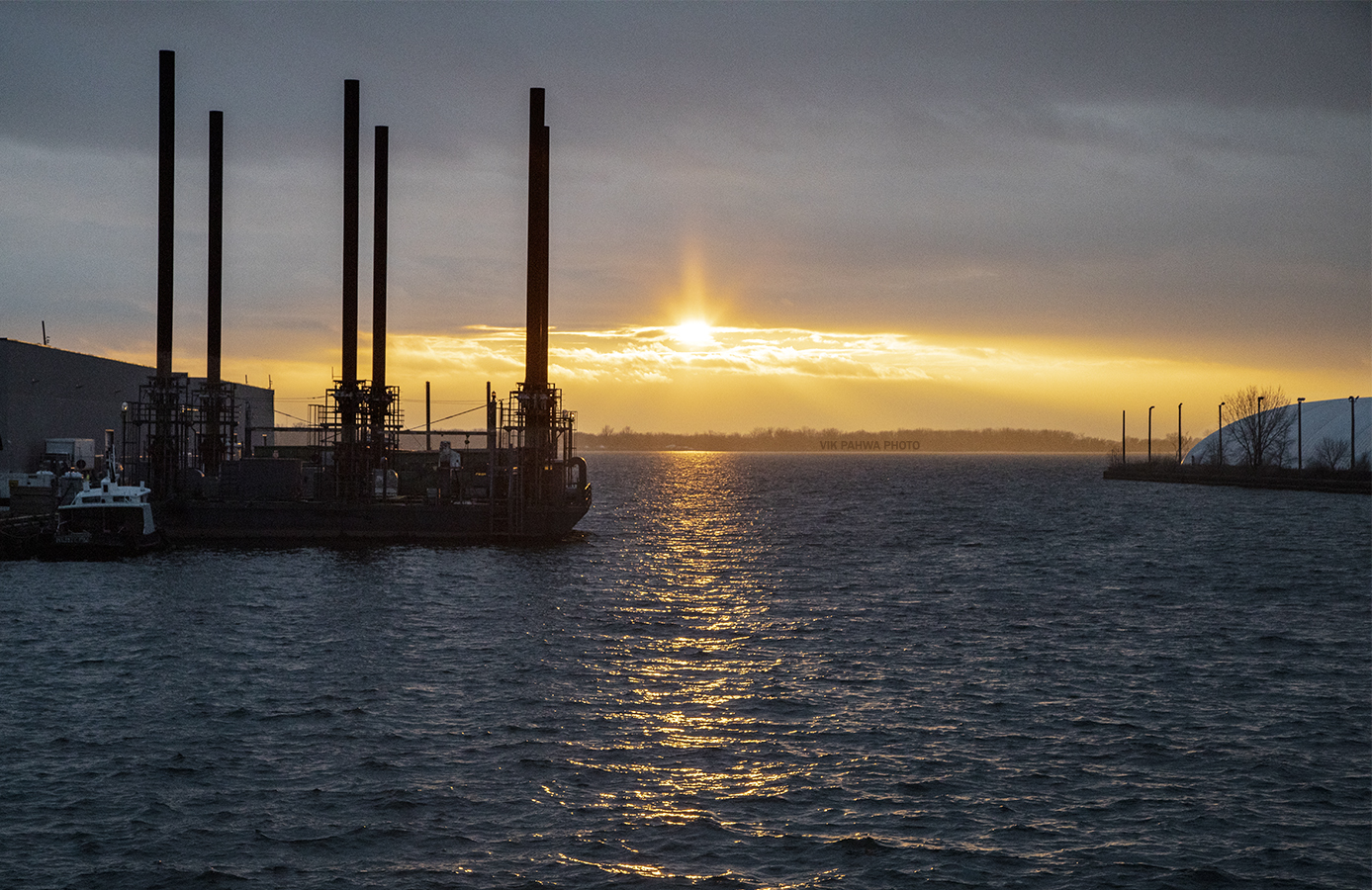
220201211. Looking West from the Cherry Street Bridge at the mouth of the Ship Channel in the rapidly changing Port Lands.

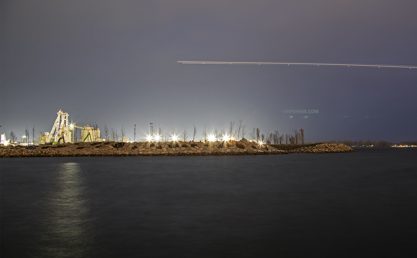
20191125. Land has taken shape off Essroc Quay in the Port Lands as part of the Cherry Street Stormwater and Lakefilling Project which provides flood protection. A plane happened to fly by during the long exposure leaving a light trail.

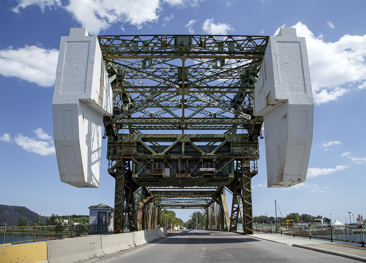
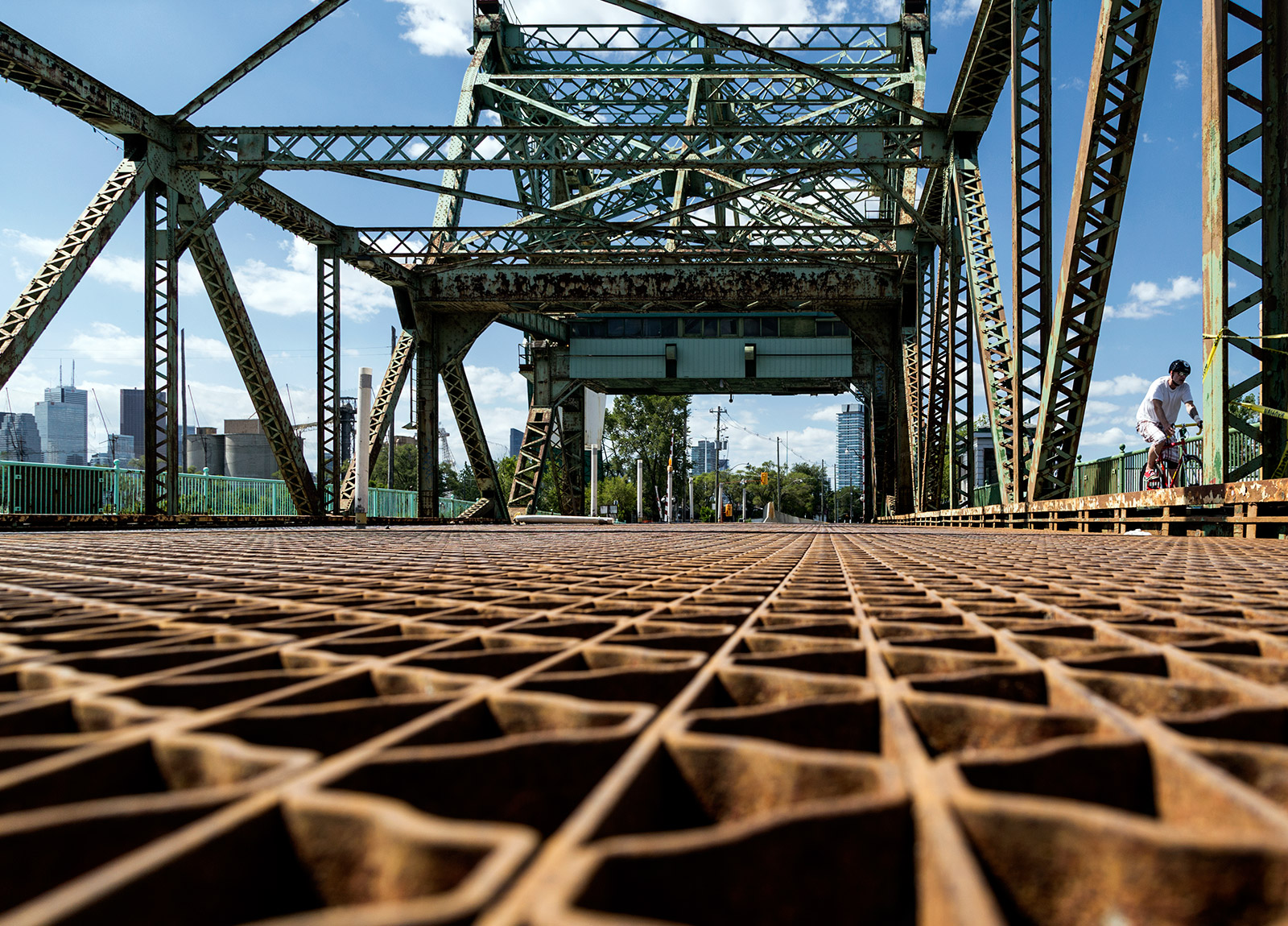
20150723. A deck level view of Toronto’s Cherry St Bascule Bridge.

20140724. Lights and stairwells create patterns on the Essroc Cement Company silos in Toronto’s port lands.
 As part of the re-naturalization of the mouth of the Don River, these silos will be decommissioned and made into a visual monument to our waterfront heritage and the company will move their operations to south of Commissioner’s Street just off Leslie St. If you have been down to the area recently you have probably noticed the new silos.
