Tag Archives: aerial
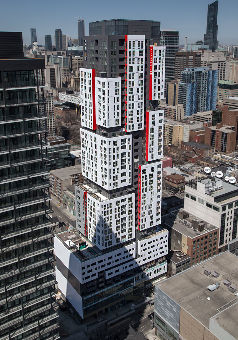
20140416. An aerial view of Toronto’s new Picasso Condominium Tower and its red-accented cubic white volumes by Teeple Architects Inc.
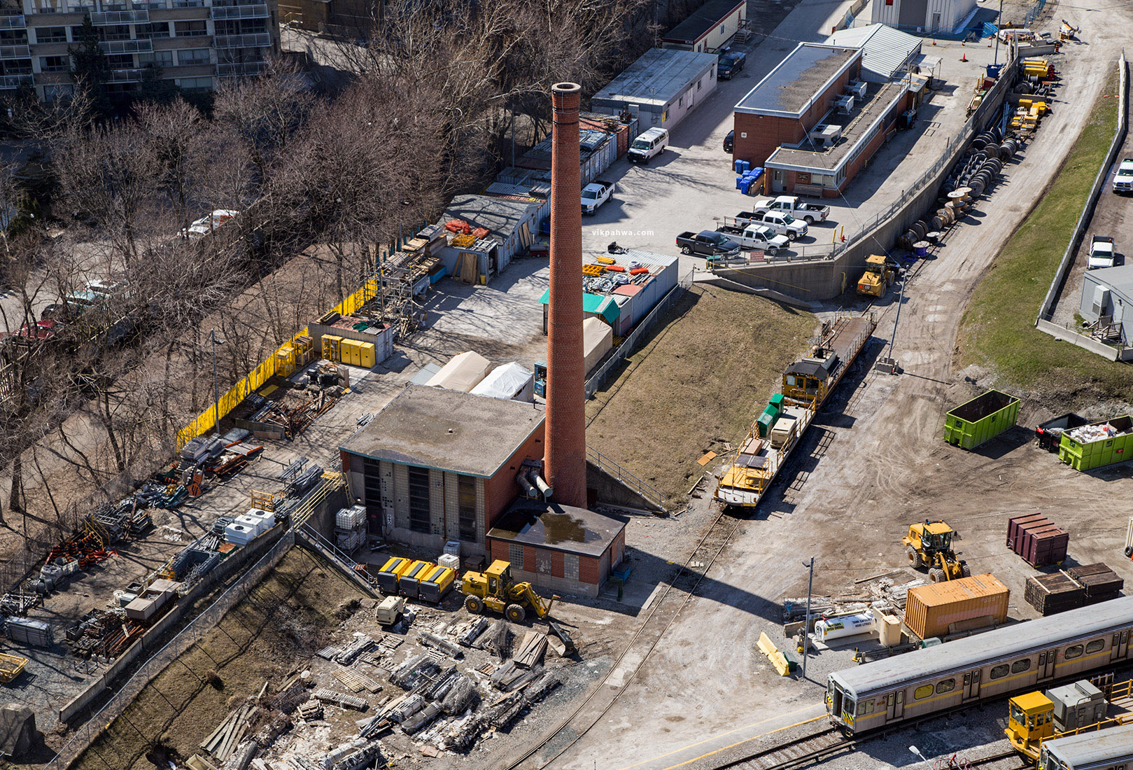
20160413. A bird’s eye view of a smokestack perch at TTC’s Davisville Yard.
20160328. Remembering the Art Deco Loblaw Groceterias Warehouse (Lakeshore and Bathurst, Toronto) before demolition.
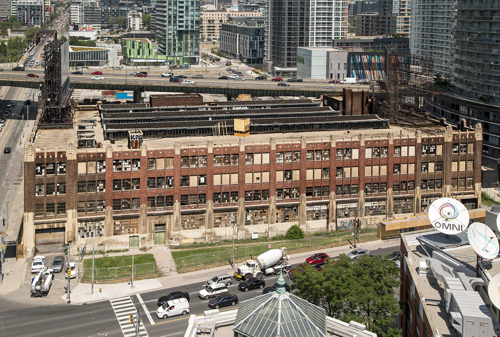 Sparling, Morton and Forbes, c.1928.
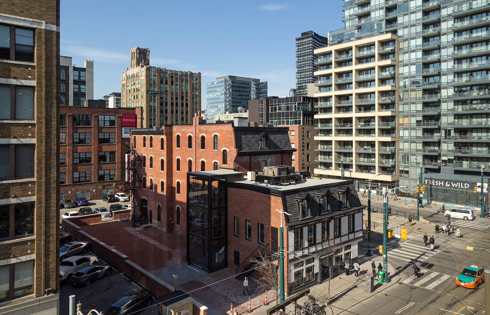
20160213. An aerial view of the heritage-listed Clarence Square Building at 49 Spadina Street in Toronto.
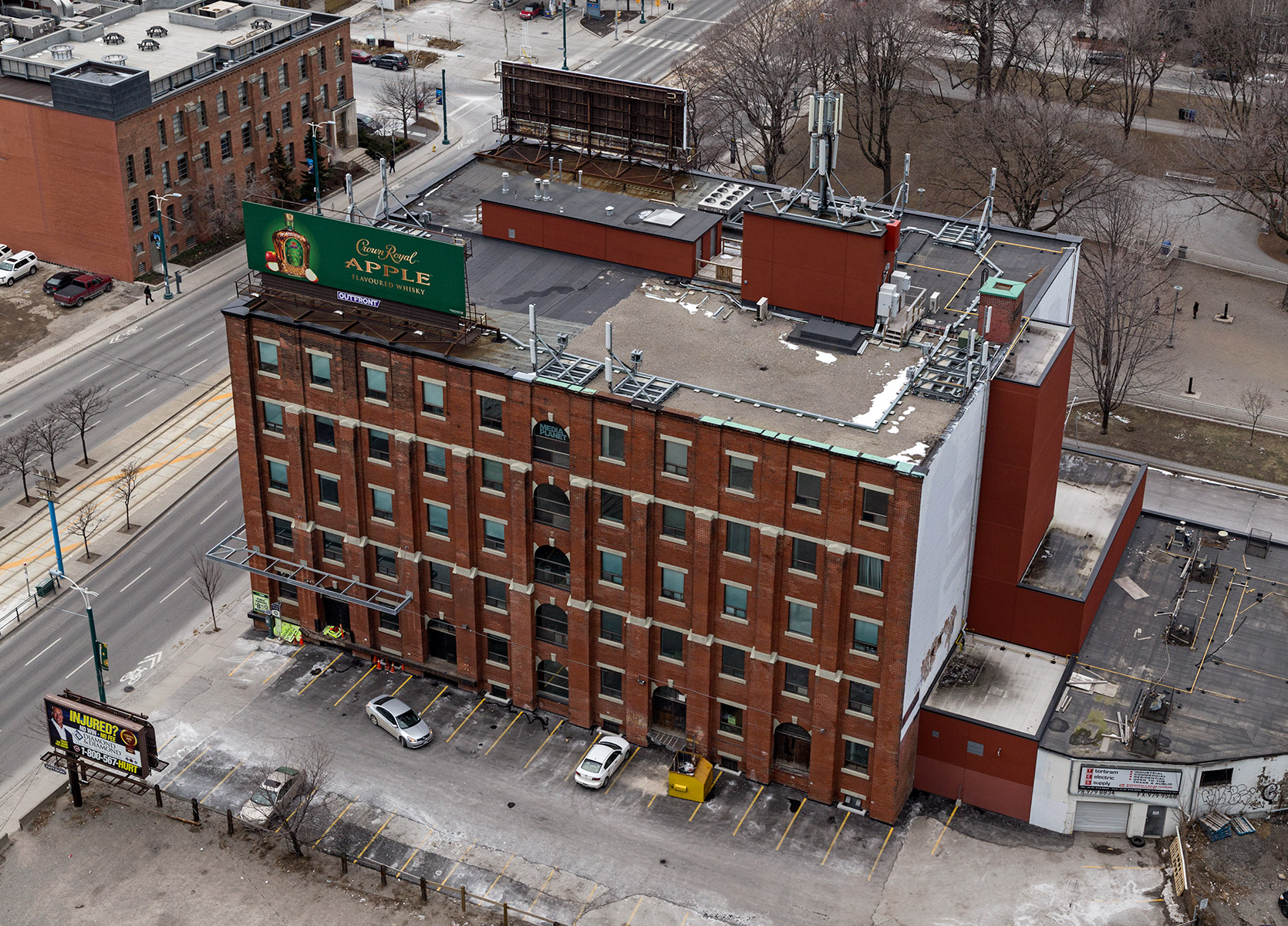 Architects Sproatt and Rolph, c.1911.
Formerly the Steele Briggs Seed Company warehouse.
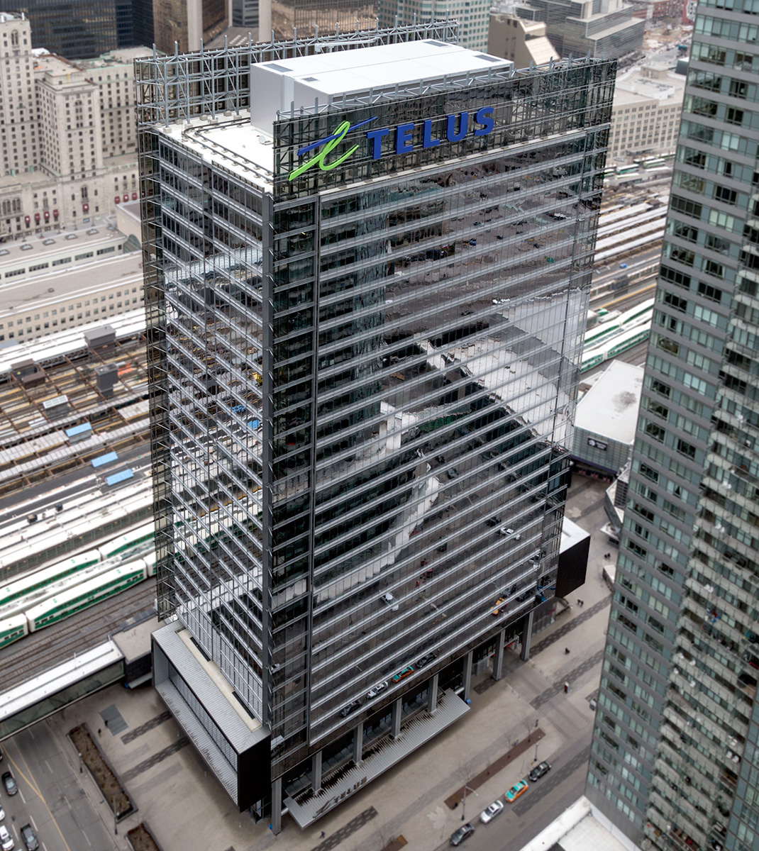
20160204. Toronto’s Telus House tower stands out in the southcore.
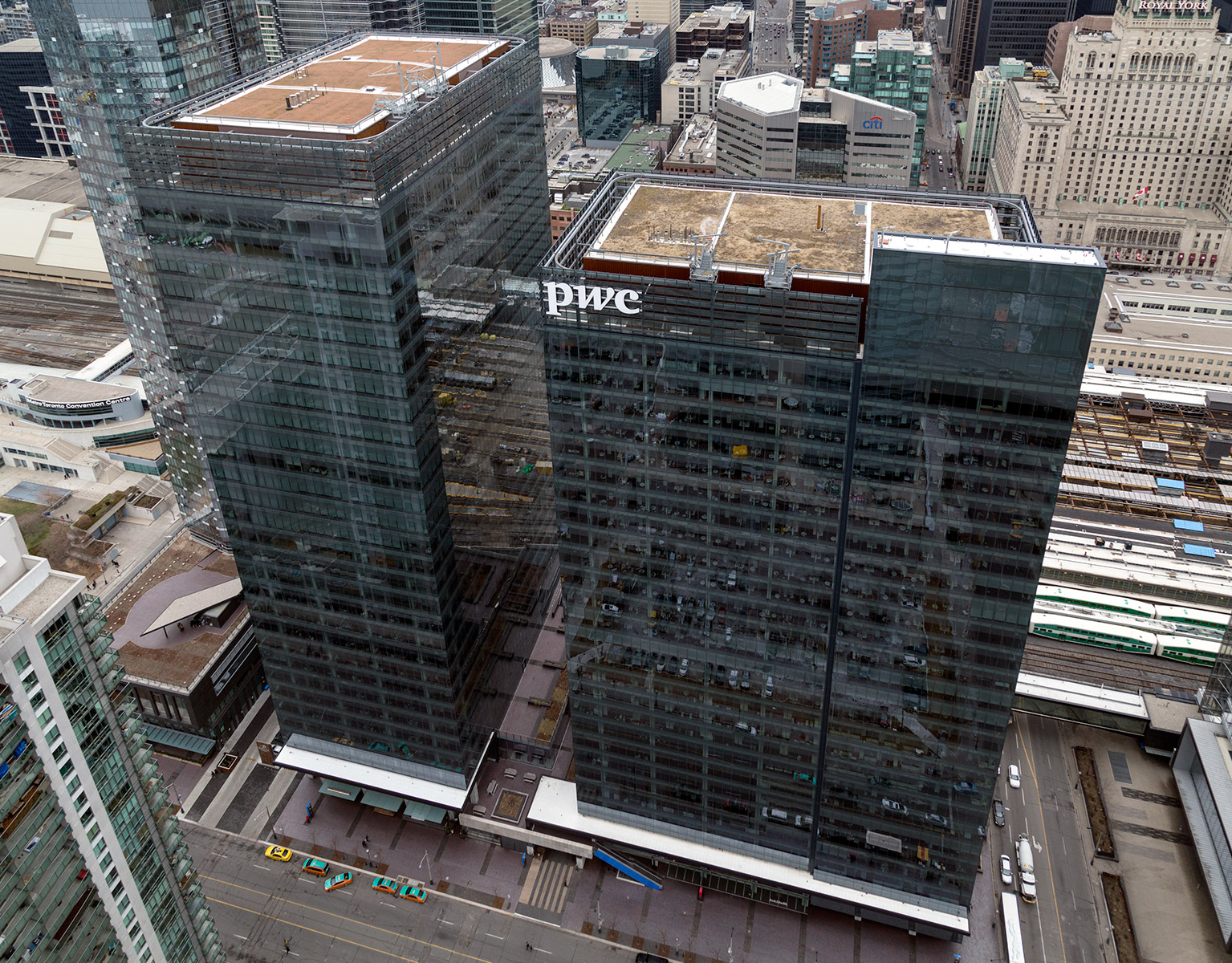
20160201. Toronto’s Southcore Financial Centre shines below.
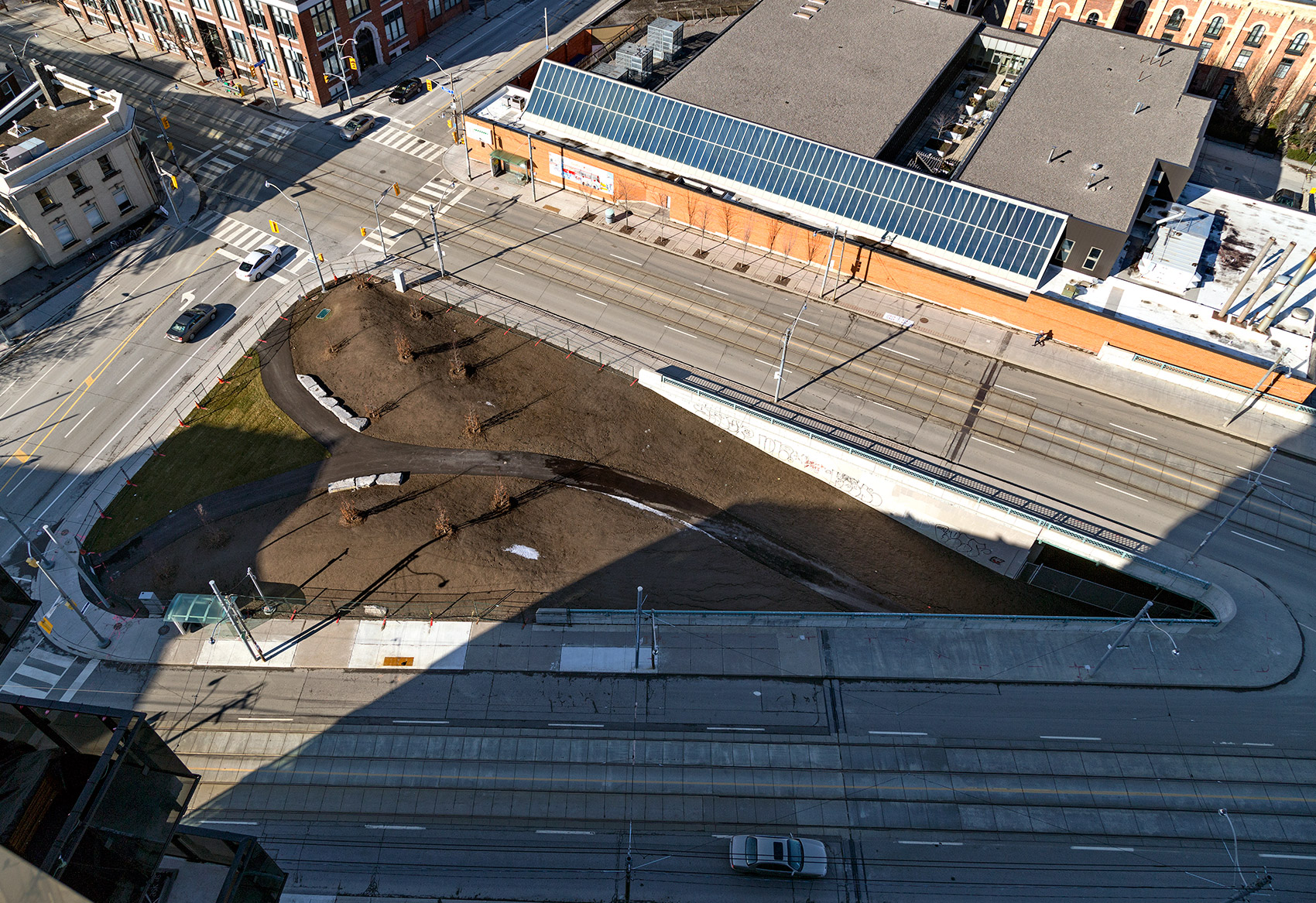
20160120. Once a road link to the Bayview extension; now a path to Toronto’s Corktown Common park.
20160119. Toronto’s skyline from where King and Queen meet in Corktown with the Streetcar Lofts in the foreground.
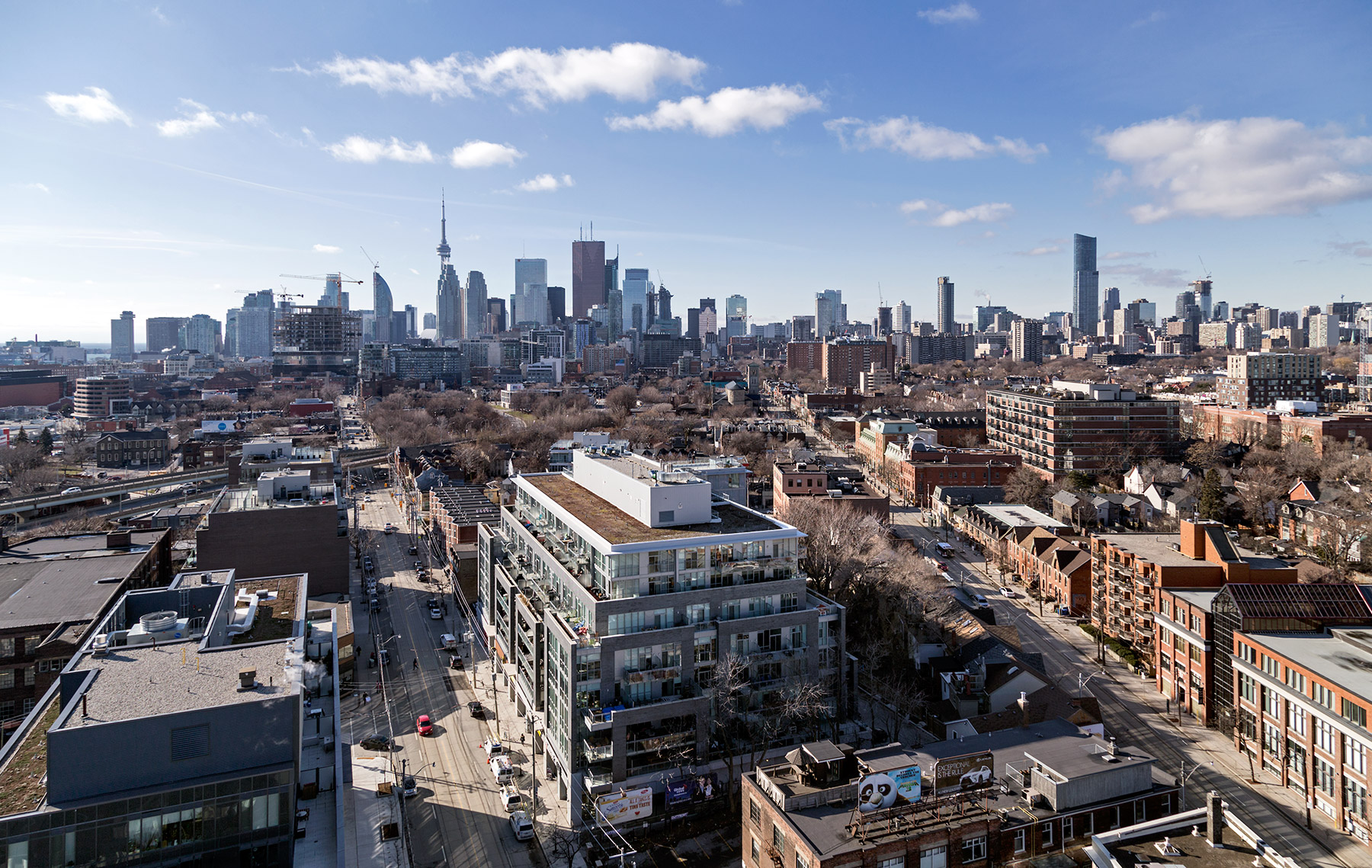
20160117. A top down view of Toronto’s River City Phase 2.
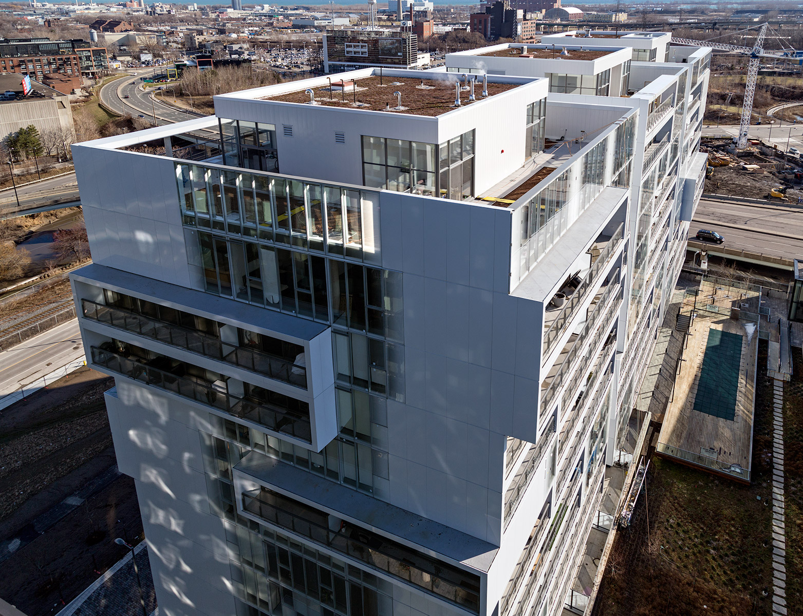
20160116. An aerial view of Regent Park’s white aluminum-cladded One Park Place Condos.
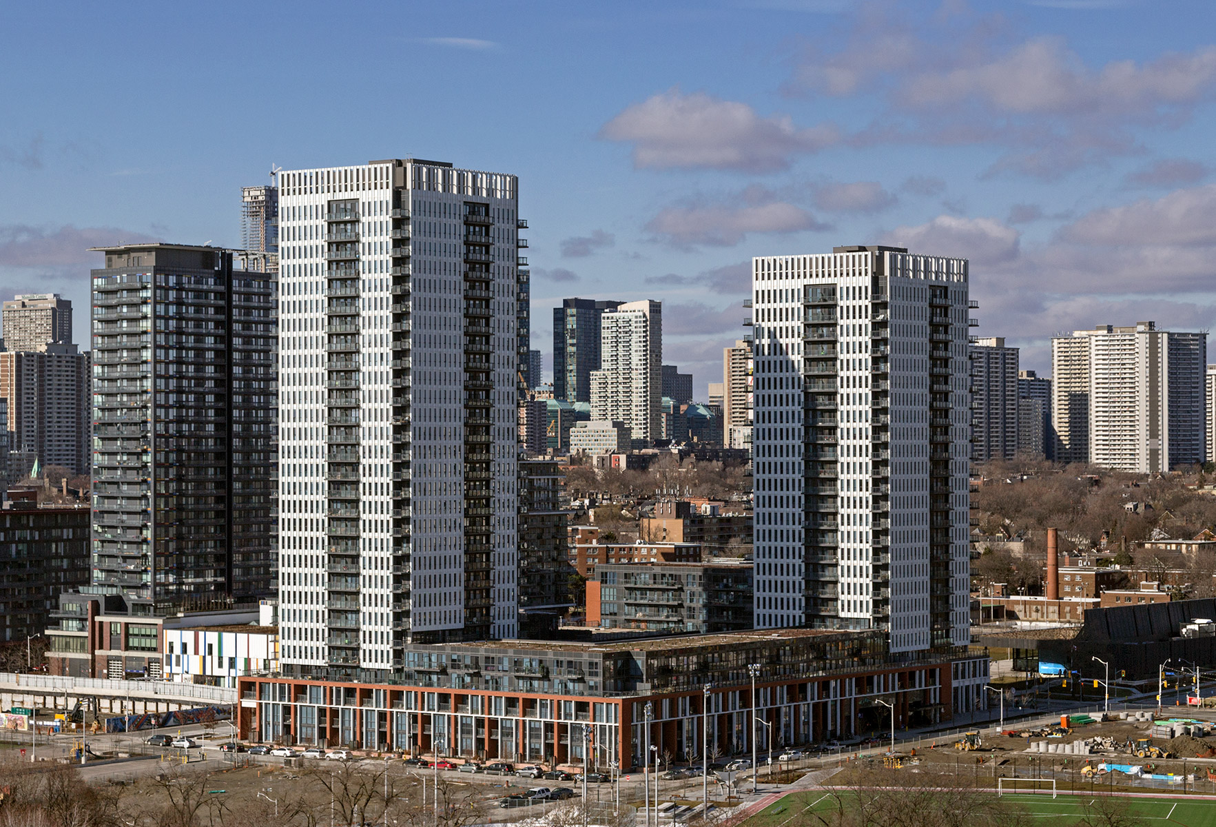
20151201. Fixing a $250,000 Toronto sinkhole at Yonge and College.
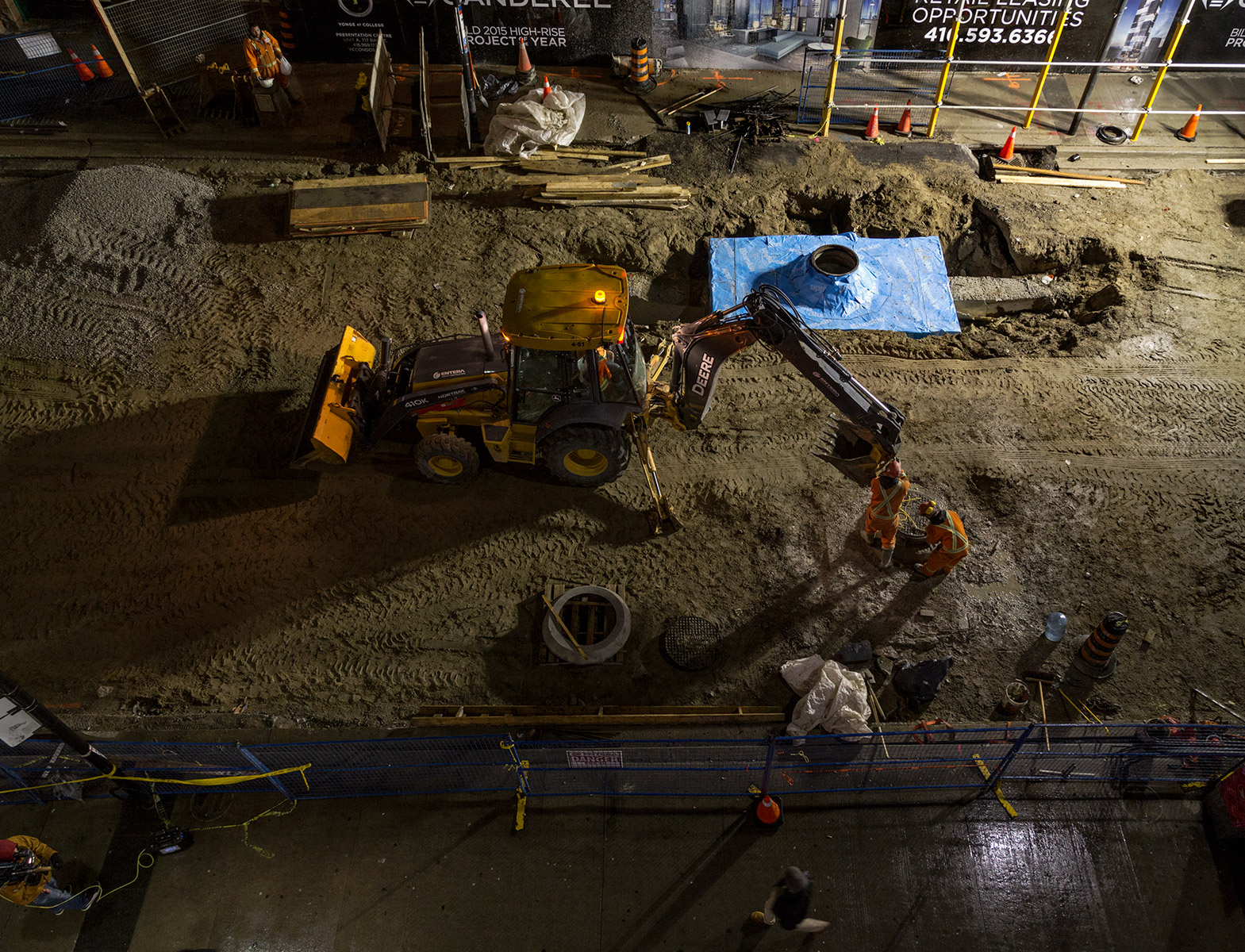
20151125. Toronto’s Distillery District at a distance.
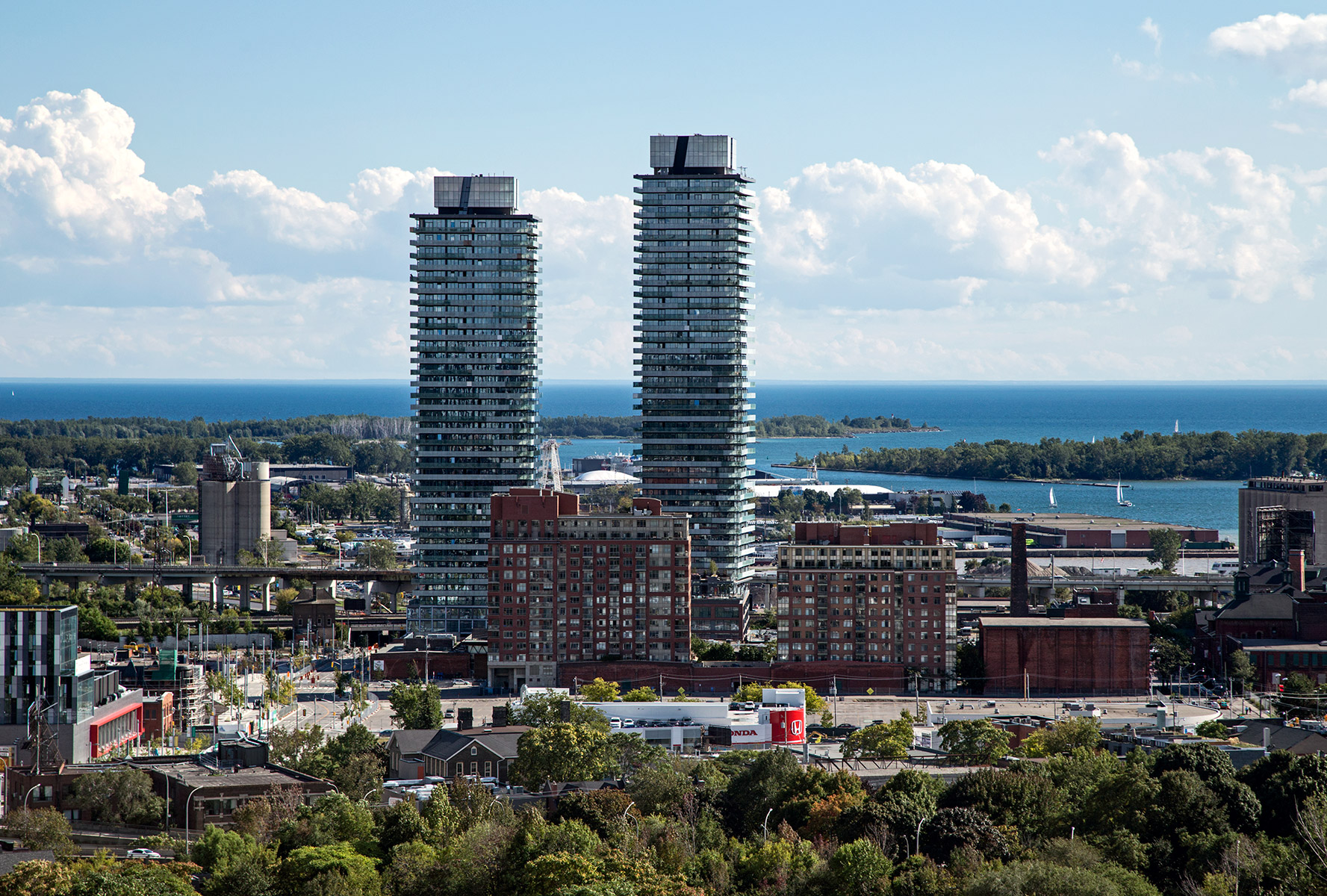
20151123. Looking down on the Distillery District.
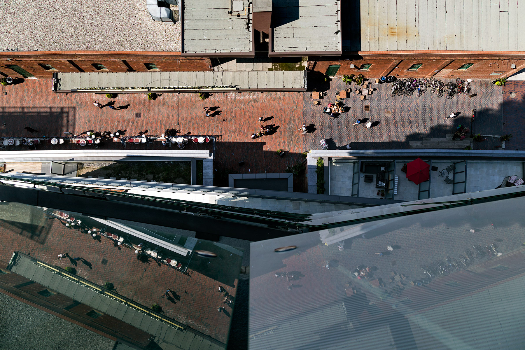
20151019. A jib puts its tower crane in to perspective.
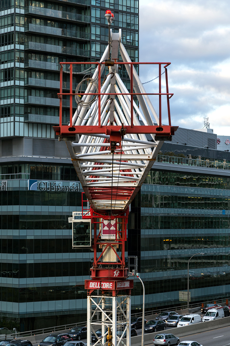
20151016. Toronto’s Sun Life Financial Tower at 1 York Street nears completion.
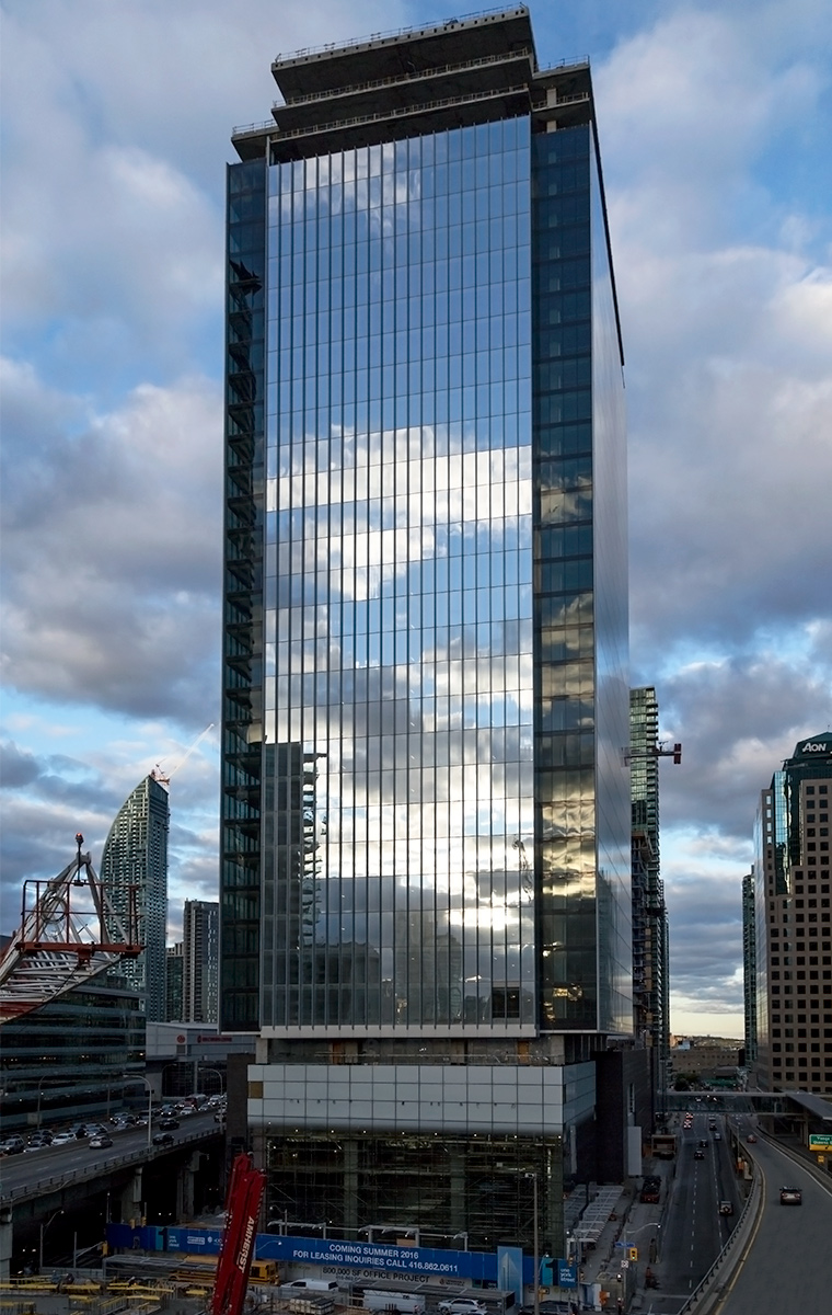
20150814. An aerial view of Toronto’s newest Distillery District Condos (Gooderham and Clear Spirit).
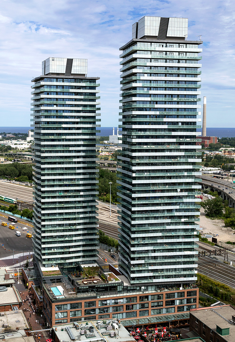
20150607. If removed, the Gardiner Expressway would end just east of Yonge St north of prime development land.
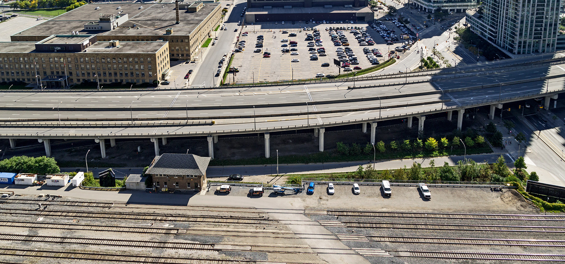 Image 6/10 exploring the Future of the Gardiner East leading up to the Toronto City Council vote.
20150528. Construction of the Chaz Condos nears completion creating a chasm on Charles Street.
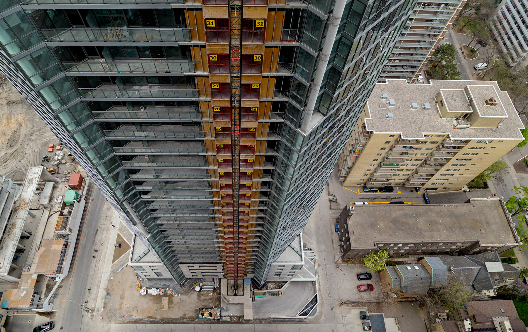
20150503. 70m below an empty Gardiner Expressway winds through stands of green and blue towers.

20150304. An aerial shot of demolition, redevelopment and contrast in Toronto’s Regent Park.
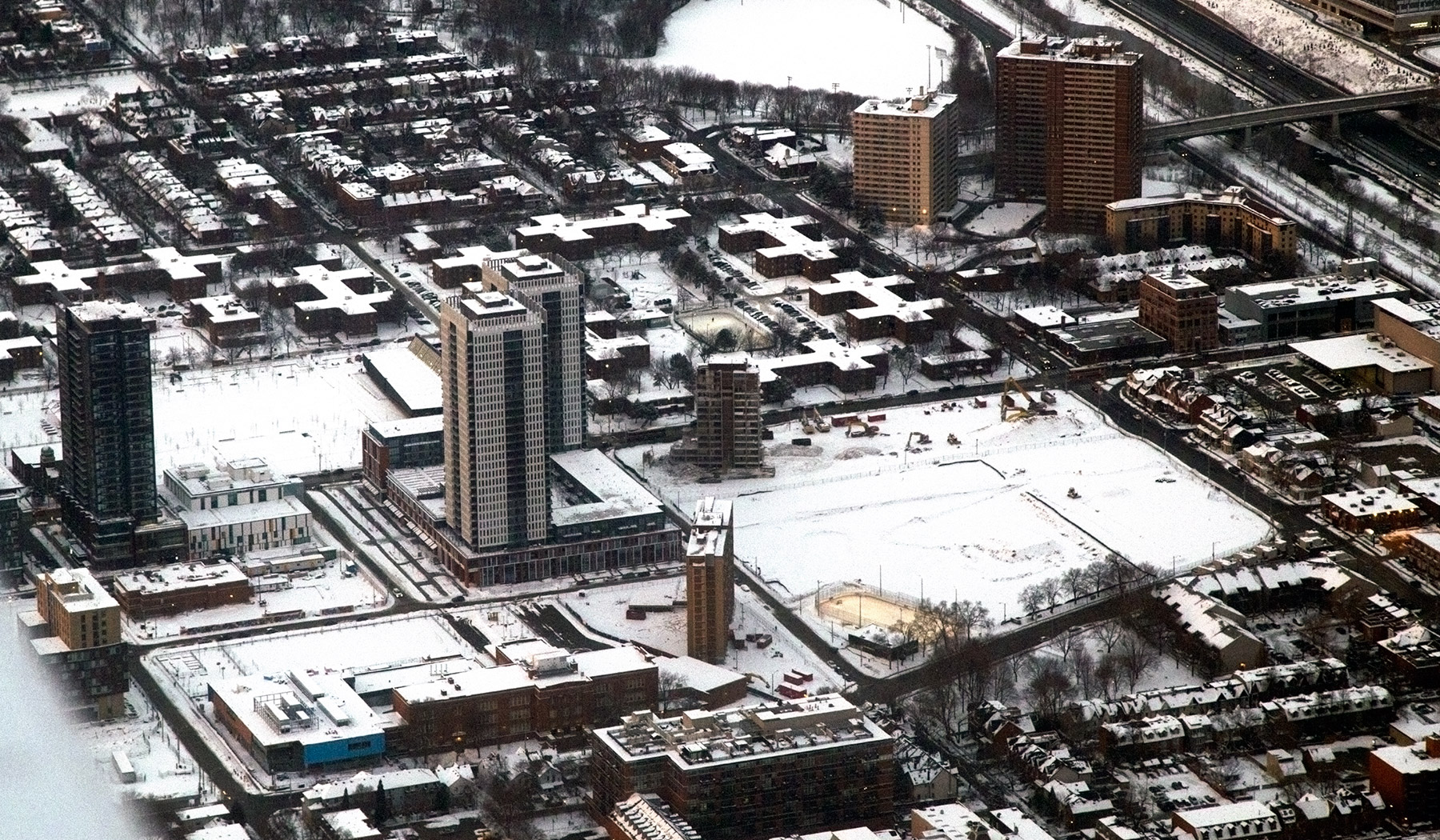
20150228. An aerial sunset view of the towers of Toronto’s Bloor East Village.
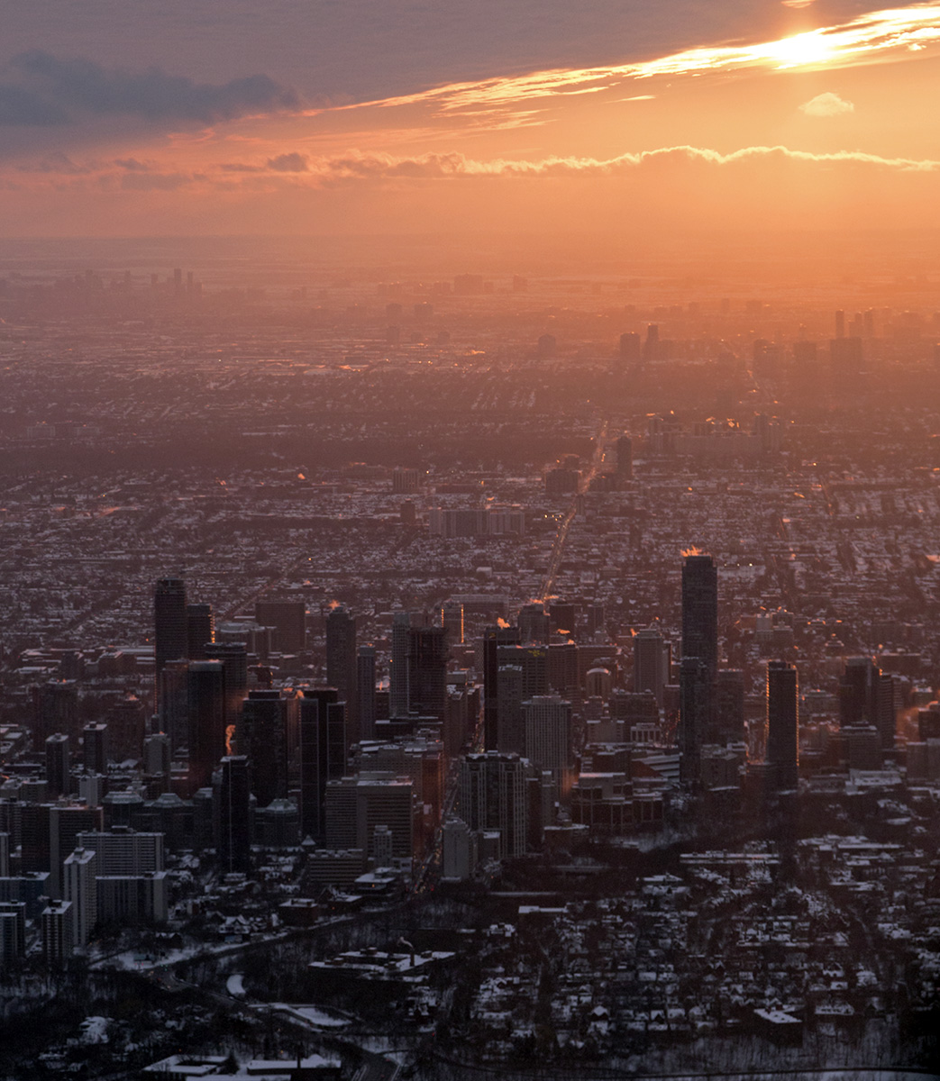 There is quite a concentration of tall buildings on Bloor Street starting at Yonge and going east. Note the sun streaming between buildings down Bloor street which stretches off into the sunset. If you look carefully you can identify Yonge and Bloor by the tall building under construction (1 Bloor East currently at 46/75 storeys) and the CIBC and Hudson’s Bay buildings.
20150225. The Toronto skyline and Canadian National Exhibition Grounds from 2000 feet.
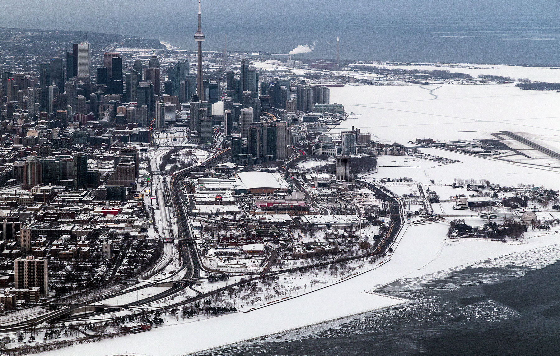 From this point of view you can see how many more tall buildings we have – evidence that Toronto has more towers going up than any other city in North America. In the foreground, notice how large the Canadian National Exhibition grounds are and particularly how massive the Direct Energy conference centre is. It is the biggest squat square building in between the expressway and the lakeshore boulevard. And to the far right is the permanently sleepy Ontario Place. And finally I love how you can see the 32-year-deceased Hearn power plant on the other side of town in the barren port lands (reddish building with huge smokestack near water).
20150224. Aerial photo of the shadow side of Toronto’s CN Tower at sunset…
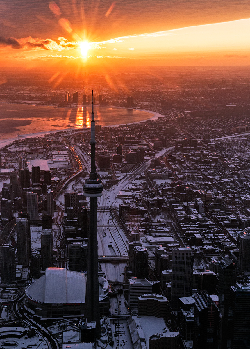 …with the Humber Bay area condos casting shadows across the lake and curvy Bremner Ave winding its way through CityPlace to the left of the tower.
20150223. Getting up close and personal with Toronto’s CN Tower at 2000 feet. Union Station and its new train shed roof is to the left.

